MyTopo
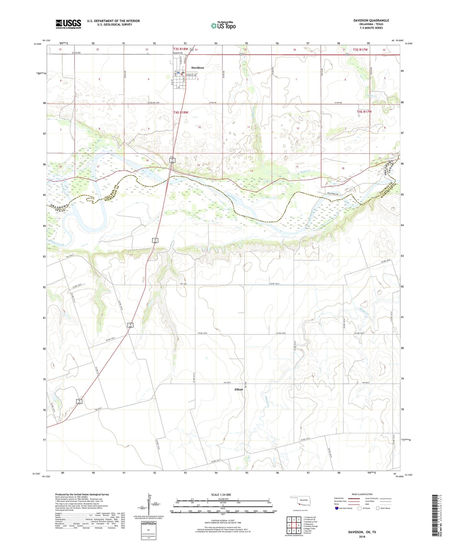
Davidson Oklahoma US Topo Map
Couldn't load pickup availability
2018 topographic map quadrangle Davidson in the states of Texas, Oklahoma. Scale: 1:24000. Based on the newly updated USGS 7.5' US Topo map series, this map is in the following counties: Tillman, Wilbarger. The map contains contour data, water features, and other items you are used to seeing on USGS maps, but also has updated roads and other features. This is the next generation of topographic maps. Printed on high-quality waterproof paper with UV fade-resistant inks.
Quads adjacent to this one:
West: Oklaunion
Northwest: Frederick SW
North: Frederick SE
Northeast: Hackberry Flat
East: Cowboy Springs
Southeast: Electra
South: Harrold
Southwest: Boggy Creek
Contains the following named places: Davidson, Davidson Elementary School, Davidson High School, Davidson Police Department, Davidson Post Office, Davidson Volunteer Fire Department, Elliott, Immanuel Church, Pease River, Town of Davidson, ZIP Code: 76373