MyTopo
Fairmont Oklahoma US Topo Map
Couldn't load pickup availability
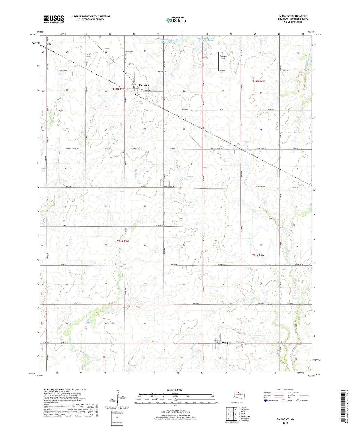
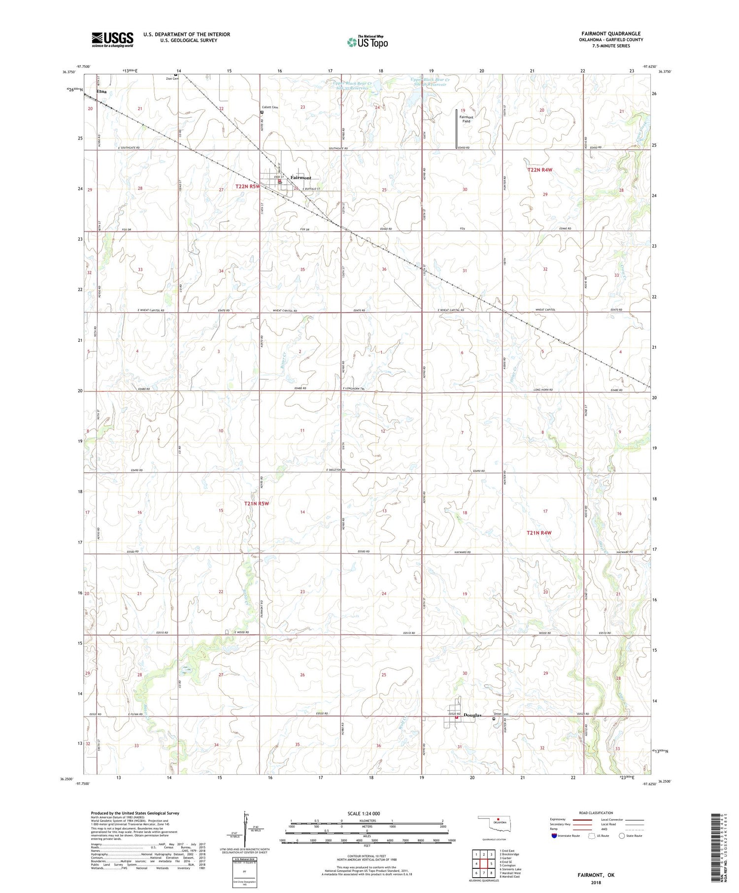
2018 topographic map quadrangle Fairmont in the state of Oklahoma. Scale: 1:24000. Based on the newly updated USGS 7.5' US Topo map series, this map is in the following counties: Garfield. The map contains contour data, water features, and other items you are used to seeing on USGS maps, but also has updated roads and other features. This is the next generation of topographic maps. Printed on high-quality waterproof paper with UV fade-resistant inks.
Quads adjacent to this one:
West: Enid SE
Northwest: Enid East
North: Breckinridge
Northeast: Garber
East: Covington
Southeast: Marshall East
South: Marshall West
Southwest: Steinerts Lake
Contains the following named places: Collett Cemetery, Douglas, Douglas Volunteer Fire Department, Etna, Fairmont, Fairmont Field, Fairmont Post Office, Fairmont Volunteer Fire Department, Luella School, Otter Valley School, Town of Douglas, Town of Fairmont, Township of Skeleton, Union Cemetery, Upper Black Bear Creek Site 35 Dam, Upper Black Bear Creek Site 35 Reservoir, Upper Black Bear Creek Site 36 Dam, Upper Black Bear Creek Site 36 Reservoir, Zion Cemetery, ZIP Codes: 73733, 73736