MyTopo
Indianapolis Oklahoma US Topo Map
Couldn't load pickup availability
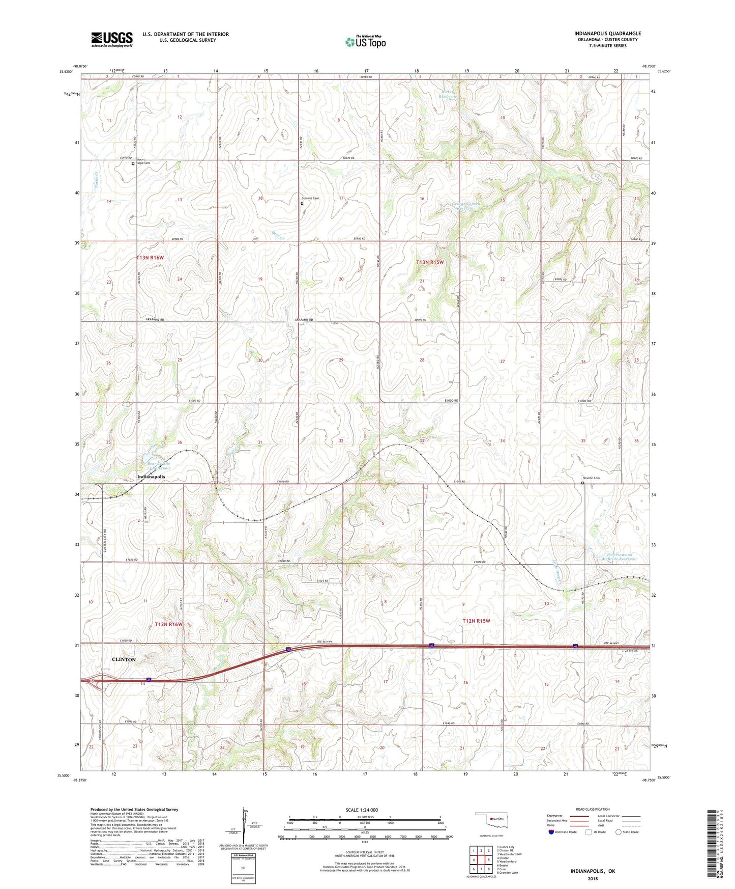
2022 topographic map quadrangle Indianapolis in the state of Oklahoma. Scale: 1:24000. Based on the newly updated USGS 7.5' US Topo map series, this map is in the following counties: Custer. The map contains contour data, water features, and other items you are used to seeing on USGS maps, but also has updated roads and other features. This is the next generation of topographic maps. Printed on high-quality waterproof paper with UV fade-resistant inks.
Quads adjacent to this one:
West: Clinton
Northwest: Custer City
North: Clinton NE
Northeast: Weatherford NW
East: Weatherford
Southeast: Crowder Lake
South: Corn
Southwest: Bessie
This map covers the same area as the classic USGS quad with code o35098e7.
Contains the following named places: Bear Creek Site 14 Dam, Bear Creek Site 14 Reservoir, Bellview Community Hall, Bozeman and McBride Dam, Bozeman and McBride Reservoir, Dickey Reservoir, Gannaway and Berry Dam, George Cornell Dam, George Cornell Reservoir, Glenn Dickey Dam, Indianapolis, Mount Hope Cemetery, Newton Cemetery, Pleasant Hill Church, Red Rock School, Summit Cemetery