MyTopo
Jet SE Oklahoma US Topo Map
Couldn't load pickup availability
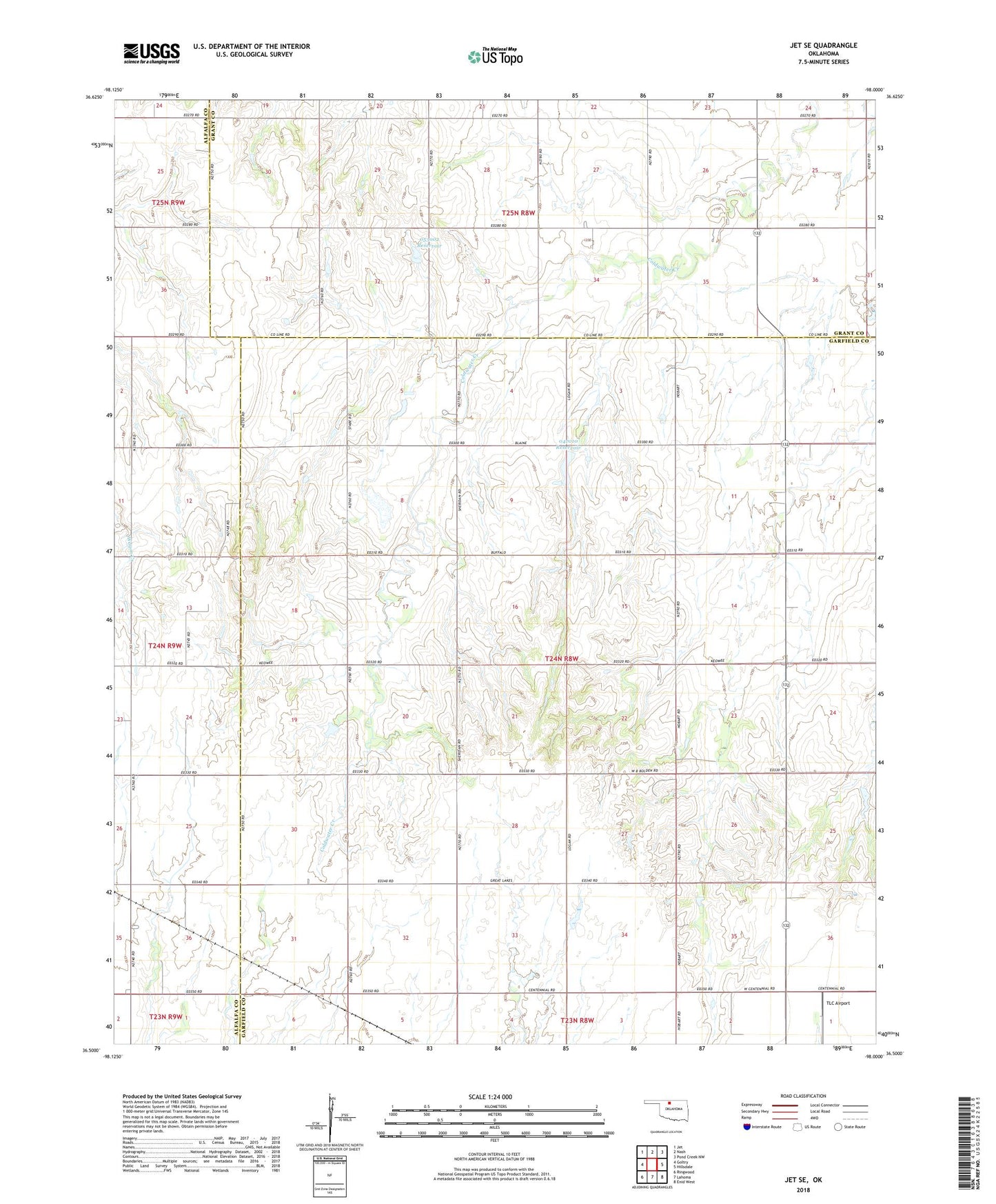
2018 topographic map quadrangle Jet SE in the state of Oklahoma. Scale: 1:24000. Based on the newly updated USGS 7.5' US Topo map series, this map is in the following counties: Garfield, Grant, Alfalfa. The map contains contour data, water features, and other items you are used to seeing on USGS maps, but also has updated roads and other features. This is the next generation of topographic maps. Printed on high-quality waterproof paper with UV fade-resistant inks.
Quads adjacent to this one:
West: Goltry
Northwest: Jet
North: Nash
Northeast: Pond Creek NW
East: Hillsdale
Southeast: Enid West
South: Lahoma
Southwest: Ringwood
Contains the following named places: KNID-FM (Enid), Oknoname 047010 Dam, Oknoname 047010 Reservoir, Oknoname 053002 Dam, Oknoname 053002 Reservoir, TLC Airport, Township of McKinley, ZIP Code: 73743