MyTopo
Enid West Oklahoma US Topo Map
Couldn't load pickup availability
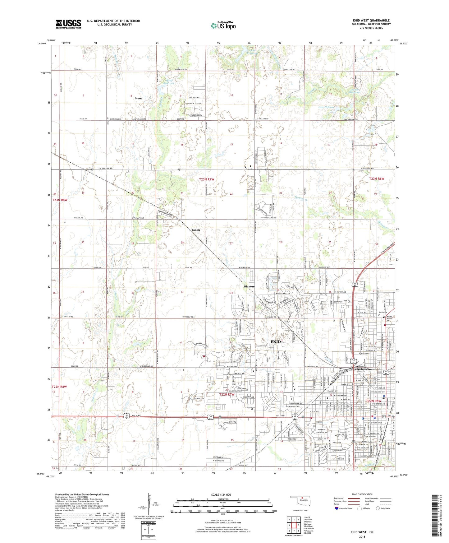
2022 topographic map quadrangle Enid West in the state of Oklahoma. Scale: 1:24000. Based on the newly updated USGS 7.5' US Topo map series, this map is in the following counties: Garfield. The map contains contour data, water features, and other items you are used to seeing on USGS maps, but also has updated roads and other features. This is the next generation of topographic maps. Printed on high-quality waterproof paper with UV fade-resistant inks.
Quads adjacent to this one:
West: Lahoma
Northwest: Jet SE
North: Hillsdale
Northeast: Kremlin
East: Enid East
Southeast: Enid SE
South: Waukomis
Southwest: Drummond
This map covers the same area as the classic USGS quad with code o36097d8.
Contains the following named places: Assembly of God Church Evangeletical, Autry Technology Center, Banner Church, Baptist Country Church, Blanton, Calvary Catholic Cemetery, Catholic Church-Saint Francis Xavier, Central Assembly of God Church, Central Christian Church, Chisholm High School, Chisholm Middle School, Christ the King Christian Center, Christ United Methodist Church, Christian Church-Covenant, Christs Wesleyan Church, Church of Christ, Church of the Brethren, Cimarron Montessori School, Cleveland School, Emerson Middle School, Emmanuel Baptist Church, Emmanuel Christian School, Enid, Enid Adventist Elementary School, Enid Beauty College, Enid Bible Church IFCA, Enid Cemetery, Enid District United Methodist Church, Enid Fire Department Station 1, Enid Fire Department Station 2, Enid Fire Department Station 4, Enid Fire Department Station 5, Enid High School, Enid High School Campus Police Department, Enid Korean Church of Grace, Enid Police Department, Enid Post Office, Evangelistic Center Church, Faith Lutheran Church ELCA, First Assembly of God Church, First Baptist Church, First Church of God, First Church of the Nazarene, First Love Church, First Presbyterian Church, First United Methodist Church, Free Methodist Church, Free Will Baptist Church, Garfield County Sheriff's Office, Garland Road Baptist Church, Glenwood Elementary School, Grace Bible Church, Grace Mennonite Church, Grace World Outreach Church, Harrison School, Hayes Elementary School, Helloms Lake Dam, Hoover Elementary School, Indian Hills Shopping Center, Integris Bass Baptist Health Center, Ituna, Jefferson School, Jonah, KBVV-FM (Enid), KGPD-FM (Lahoma), KGWA-AM (Enid), Kmart Shopping Center, KOFM-FM (Enid), Lake Hellums, Liberty Southern Baptist Church, Life Emergency Medical Services, Lincoln Elementary School, Madison Avenue Baptist Church, McKinley Elementary School, Meadowlake Park Lake Dam, Monroe Elementary School, Munger Park, North Garland Church of Christ, Northwest Area Park, Oakwood Christian Church, Oakwood Mall, Oklahoma Bible Academy, Oklahoma State Highway Patrol Troop J, Oknoname 04703 Dam, Oknoname 04703 Reservoir, Oknoname 04707 Dam, Oknoname 04707 Reservoir, Oknoname 04709 Dam, Oknoname 04709 Reservoir, Olivet Baptist Church, Redeemer Lutheran Church, Reorganized Church of Jesus, Saint Gregorys Catholic Church, Saint Joseph Catholic School, Saint Lukes United Methodist Church, Saint Mathews Episcopal Church, Salvation Army Church, Seventh Day Adventist Church, Summerhill Childrens House, Sunset Plaza, Sycamore Square, Taft Elementary School, Temple Baptist Church, The Church of Jesus Christ of Latter Day Saints, Township of Banner, Victory Christian Training Center, Wallace Shopping Center, Waller Middle School, Weldon Park, West Side Baptist Church, West Side Church of God, West Willow Community Church, Westgate Plaza, Willow Road Christian Church, Willow View United Methodist Church, ZIP Code: 73703


