MyTopo
Longtown Oklahoma US Topo Map
Couldn't load pickup availability
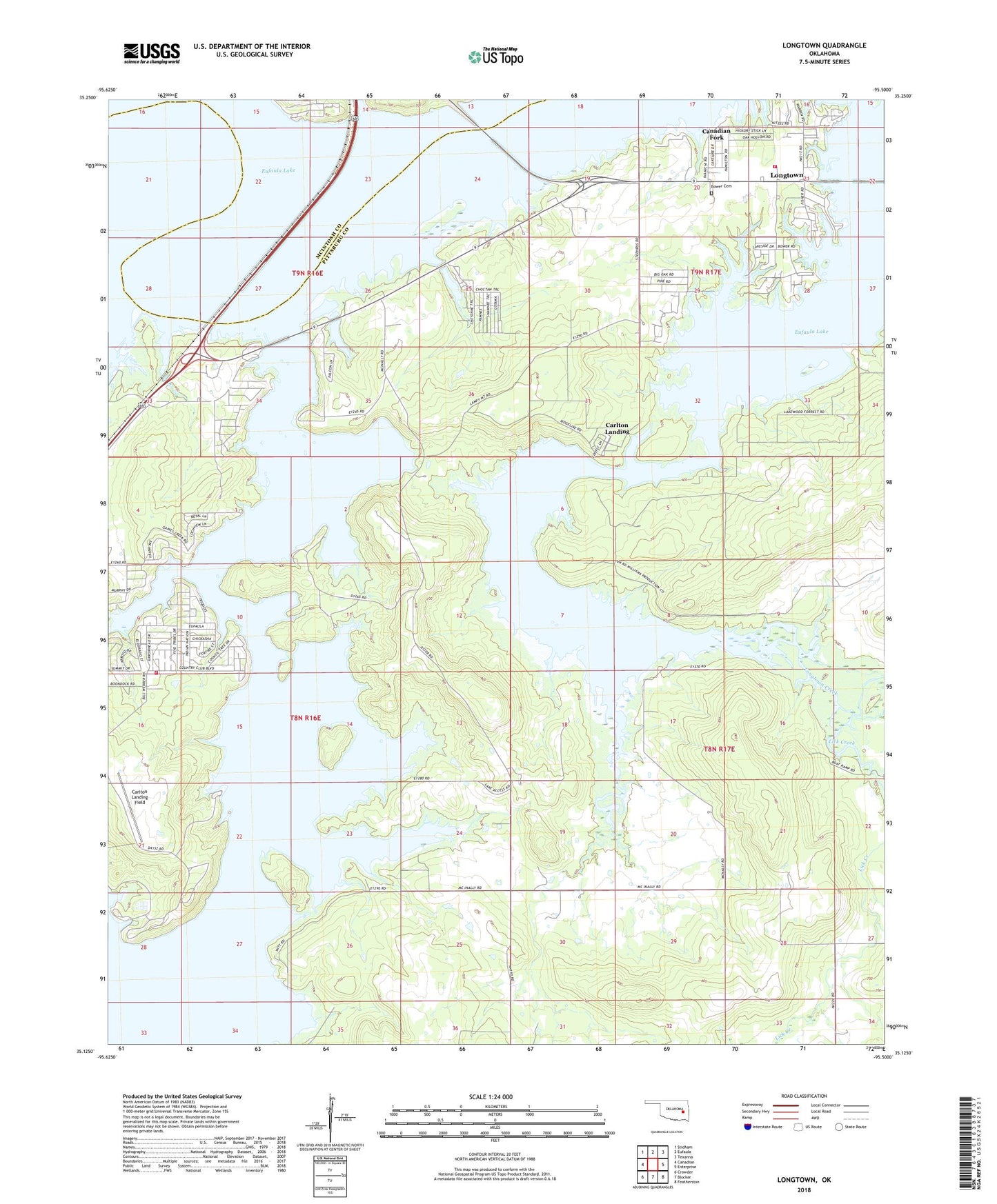
2018 topographic map quadrangle Longtown in the state of Oklahoma. Scale: 1:24000. Based on the newly updated USGS 7.5' US Topo map series, this map is in the following counties: Pittsburg, McIntosh. The map contains contour data, water features, and other items you are used to seeing on USGS maps, but also has updated roads and other features. This is the next generation of topographic maps. Printed on high-quality waterproof paper with UV fade-resistant inks.
Quads adjacent to this one:
West: Canadian
Northwest: Stidham
North: Eufaula
Northeast: Texanna
East: Enterprise
Southeast: Featherston
South: Blocker
Southwest: Crowder
Contains the following named places: Arrowhead Estates Volunteer Fire Department, Bower Cemetery, Canadian Fork, Carlton Landing, Carlton Landing Field, Gaines Creek Recreation Area, Lick Creek, Longtown, Longtown Census Designated Place, Number 9 Volunteer Fire Department, Oak Ridge Recreation Area, Town of Carlton Landing