MyTopo
Eufaula Oklahoma US Topo Map
Couldn't load pickup availability
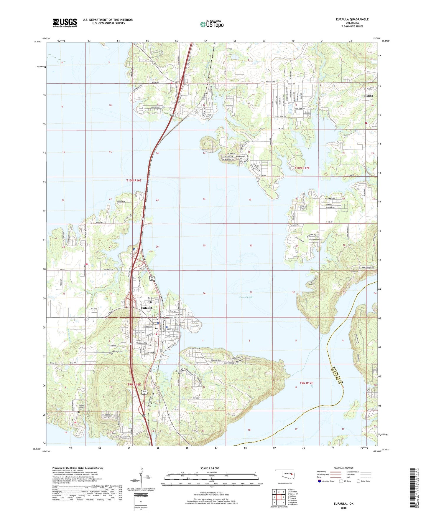
2022 topographic map quadrangle Eufaula in the state of Oklahoma. Scale: 1:24000. Based on the newly updated USGS 7.5' US Topo map series, this map is in the following counties: McIntosh, Pittsburg. The map contains contour data, water features, and other items you are used to seeing on USGS maps, but also has updated roads and other features. This is the next generation of topographic maps. Printed on high-quality waterproof paper with UV fade-resistant inks.
Quads adjacent to this one:
West: Stidham
Northwest: Pierce
North: Checotah
Northeast: Warner NW
East: Texanna
Southeast: Enterprise
South: Longtown
Southwest: Canadian
This map covers the same area as the classic USGS quad with code o35095c5.
Contains the following named places: Assembly of God Church, Baptizing Creek, Carr Creek, Church of Christ, Church of the Nazarene, City of Eufaula, Community Hospital Lakeview Heliport, Coon Creek, Cooper-McClain Middle School, Davis Elementary School, Deep Fork, Dixie Elementary School, Epic Medical Center, Eufaula, Eufaula Elementary School, Eufaula Fire Department Station 2, Eufaula High School, Eufaula Middle School, Eufaula Municipal Airport, Eufaula Police Department, Eufaula Post Office, Eufaula Volunteer Fire Department, Evergreen Cemetery, Fame Branch, Fife Creek, First Baptist Church, Fishertown Cemetery, Greenwood Cemetery, Homan Junior High School, KCES-FM (Eufaula), Lawson Williams Cemetery, Longtown Creek, McIntosh Cemetery, McIntosh County Jail, McIntosh County Sheriff's Office, Okfuskee Church, Oknoname 061002 Dam, Oknoname 061002 Reservoir, Para Med Emergency Medical Services, Possum Creek, Rafter 'R' Ranch Airport, Saint Pauls Catholic Church, Terra Lakes Lake, Terra Lakes Lake Dam, Texanna Census Designated Place, Texanna Fire Protection Association Station 1 Headquarters, Texanna Fire Protection Association Station 2, Township of Eufaula, Vivian Area Fire Protection Association Southport, West Eufaula Church, Whitlow Cemetery


