
MyTopo
Ludlow Oklahoma US Topo Map
Couldn't load pickup availability
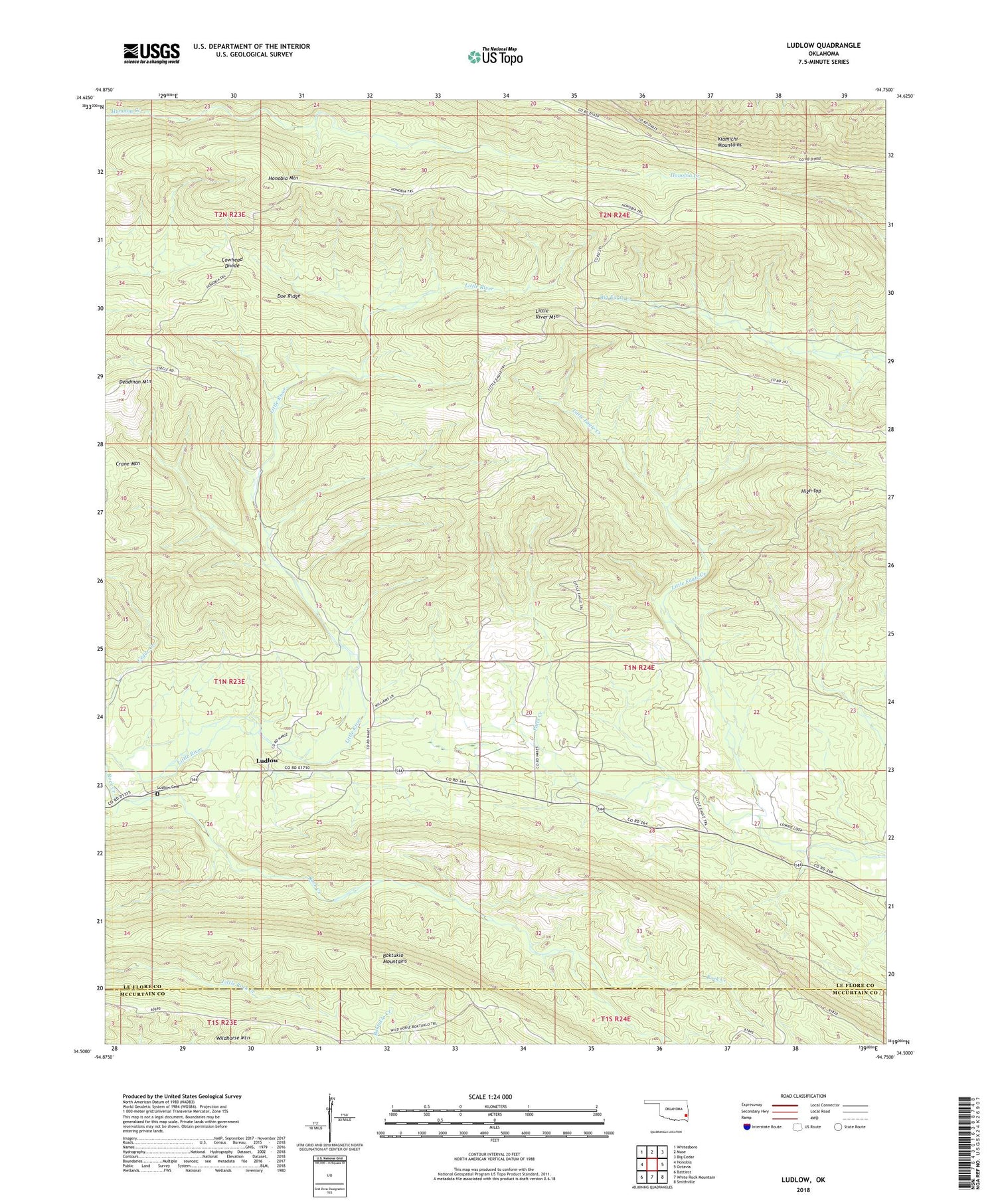
2018 topographic map quadrangle Ludlow in the state of Oklahoma. Scale: 1:24000. Based on the newly updated USGS 7.5' US Topo map series, this map is in the following counties: Le Flore, McCurtain. The map contains contour data, water features, and other items you are used to seeing on USGS maps, but also has updated roads and other features. This is the next generation of topographic maps. Printed on high-quality waterproof paper with UV fade-resistant inks.
Quads adjacent to this one:
West: Honobia
Northwest: Whitesboro
North: Muse
Northeast: Big Cedar
East: Octavia
Southeast: Smithville
South: White Rock Mountain
Southwest: Battiest
Contains the following named places: Cowhead Divide, Deadman Mountain, Doe Ridge, High Top, Honobia Mountain, Honobia Trail, Little Eagle Trail, Little River Mountain, Ludlow, Ludlow Cemetery, Potts Creek, Wildhorse Mountain


