MyTopo
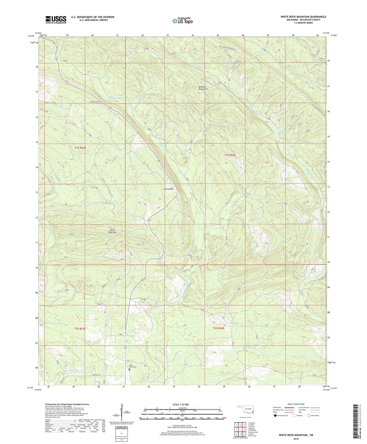
White Rock Mountain Oklahoma US Topo Map
Couldn't load pickup availability
Also explore the White Rock Mountain Forest Service Topo of this same quad for updated USFS data
2022 topographic map quadrangle White Rock Mountain in the state of Oklahoma. Scale: 1:24000. Based on the newly updated USGS 7.5' US Topo map series, this map is in the following counties: McCurtain. The map contains contour data, water features, and other items you are used to seeing on USGS maps, but also has updated roads and other features. This is the next generation of topographic maps. Printed on high-quality waterproof paper with UV fade-resistant inks.
Quads adjacent to this one:
West: Battiest
Northwest: Honobia
North: Ludlow
Northeast: Octavia
East: Smithville
Southeast: Hee Creek
South: Bethel
Southwest: Rocky Creek
This map covers the same area as the classic USGS quad with code o34094d7.
Contains the following named places: Boktuklo Mountains, Boktuklo Trail, Cumberland Church, Kulli-Chito Cemetery, Kulli-Chito Presbyterian Church, North Bethel School, Spring Mountain, White Rock Mountain