MyTopo
Phroso Oklahoma US Topo Map
Couldn't load pickup availability
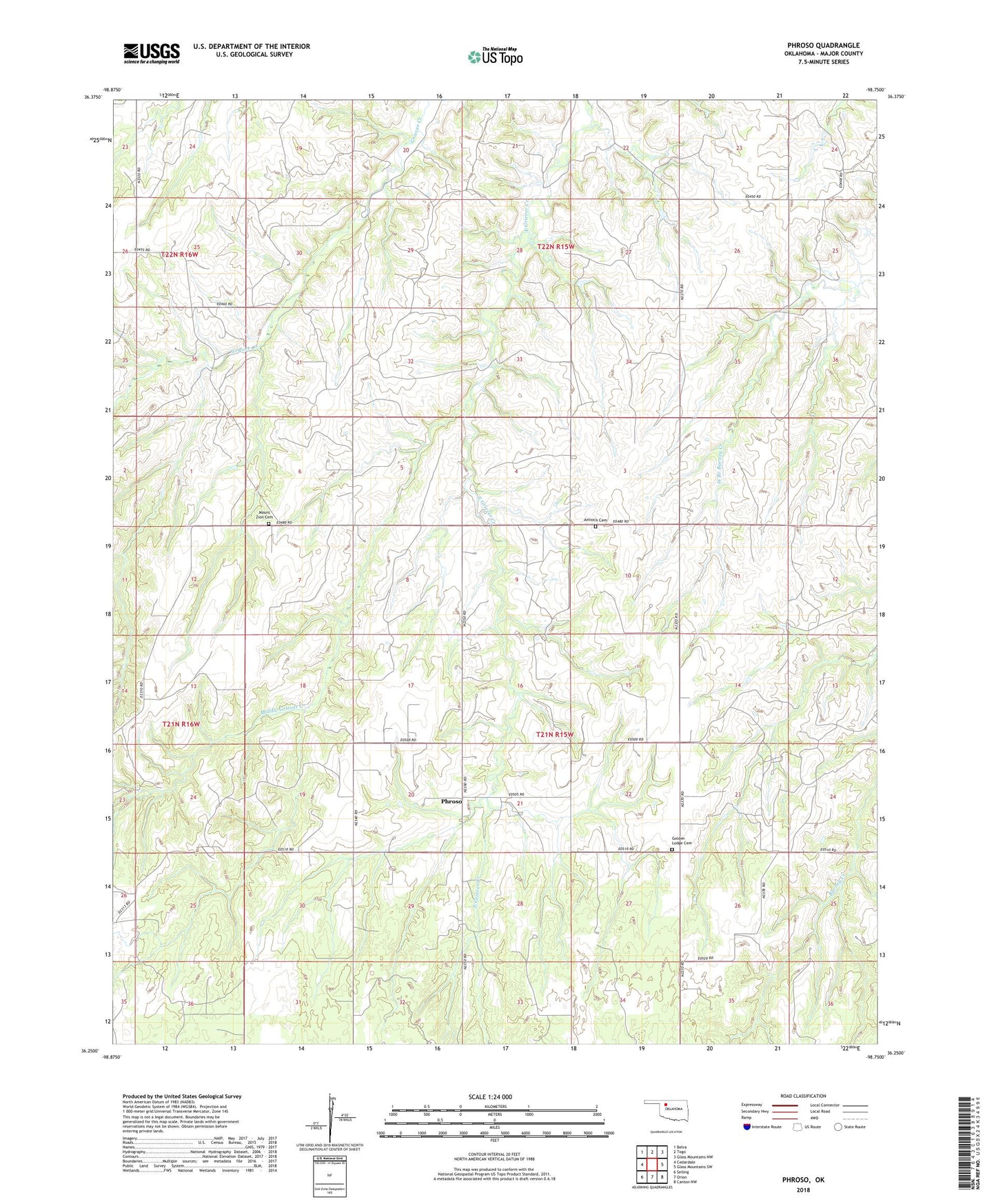
2022 topographic map quadrangle Phroso in the state of Oklahoma. Scale: 1:24000. Based on the newly updated USGS 7.5' US Topo map series, this map is in the following counties: Major. The map contains contour data, water features, and other items you are used to seeing on USGS maps, but also has updated roads and other features. This is the next generation of topographic maps. Printed on high-quality waterproof paper with UV fade-resistant inks.
Quads adjacent to this one:
West: Cedardale
Northwest: Belva
North: Togo
Northeast: Glass Mountains NW
East: Glass Mountains SW
Southeast: Canton NW
South: Orion
Southwest: Seiling
This map covers the same area as the classic USGS quad with code o36098c7.
Contains the following named places: Antioch Cemetery, Golden Lodge Cemetery, Middle Griever Creek, Mount Zion Cemetery, Phroso, Township of Bishop