MyTopo
Putnam NW Oklahoma US Topo Map
Couldn't load pickup availability
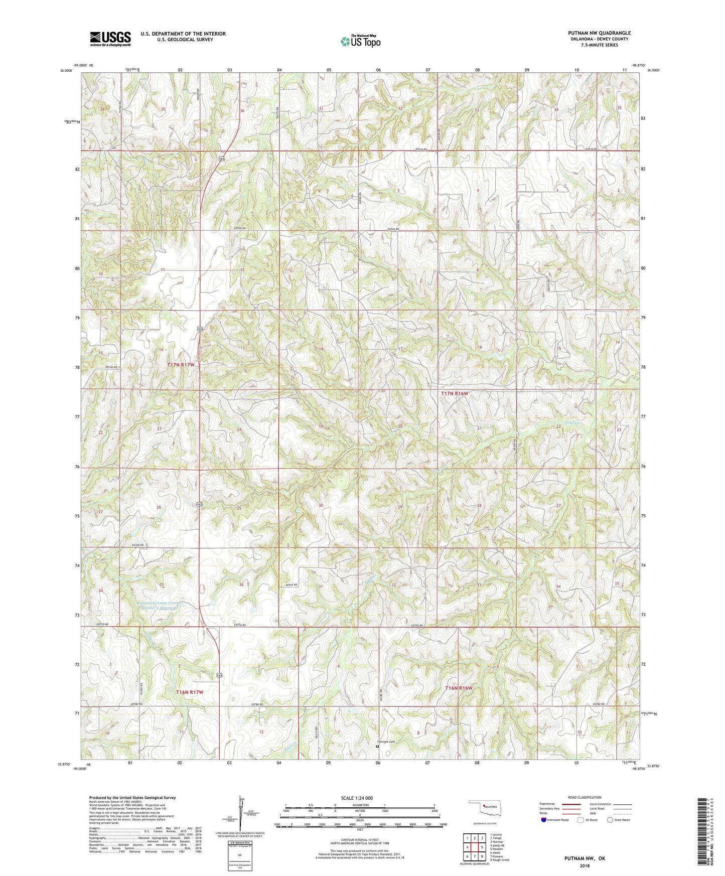
2022 topographic map quadrangle Putnam NW in the state of Oklahoma. Scale: 1:24000. Based on the newly updated USGS 7.5' US Topo map series, this map is in the following counties: Dewey. The map contains contour data, water features, and other items you are used to seeing on USGS maps, but also has updated roads and other features. This is the next generation of topographic maps. Printed on high-quality waterproof paper with UV fade-resistant inks.
Quads adjacent to this one:
West: Aledo NE
Northwest: Lenora
North: Taloga
Northeast: Hucmac
East: Parallel
Southeast: Rough Creek
South: Putnam
Southwest: Aledo
This map covers the same area as the classic USGS quad with code o35098h8.
Contains the following named places: Boggess Erosion Control Number 1 Dam, Boggess Erosion Control Number 1 Reservoir, Boggess Number 2 Dam, Boggess Number 2 Reservoir, Fairview Cemetery, Roaring Creek Site 17 Dam, Roaring Creek Site 17 Reservoir, Township of Dawson