MyTopo
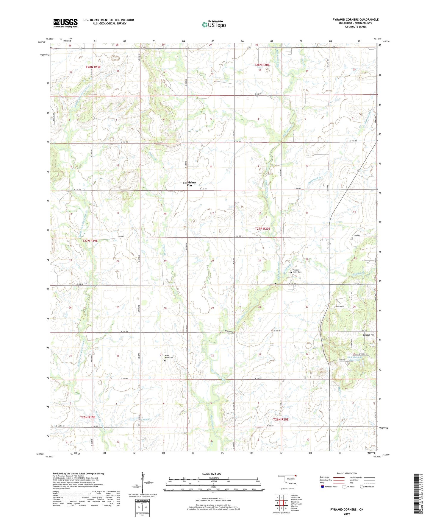
Pyramid Corners Oklahoma US Topo Map
Couldn't load pickup availability
2019 topographic map quadrangle Pyramid Corners in the state of Oklahoma. Scale: 1:24000. Based on the newly updated USGS 7.5' US Topo map series, this map is in the following counties: Craig. The map contains contour data, water features, and other items you are used to seeing on USGS maps, but also has updated roads and other features. This is the next generation of topographic maps. Printed on high-quality waterproof paper with UV fade-resistant inks.
Quads adjacent to this one:
West: Centralia
Northwest: Hollow
North: Welch NW
Northeast: Welch North
East: Welch South
Southeast: Vinita NE
South: Vinita
Southwest: Estella
Contains the following named places: Cocklebur Flat, Craig County, Craig Non-Community, Deer Creek, Dick Melendy Dam, Dick Melendy Reservoir, Frazier Branch, McDonald Branch, Middle Fork Big Cabin Creek, Pleasant Valley Cemetery, Pyaramid Corners, Pyramid Corners, Timber Hill Church, Timbered Hill Church, West Point Cemetery, Whiskey Branch