MyTopo
Hollow Oklahoma US Topo Map
Couldn't load pickup availability
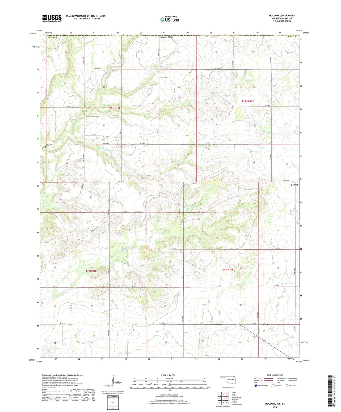
2022 topographic map quadrangle Hollow in the state of Oklahoma. Scale: 1:24000. Based on the newly updated USGS 7.5' US Topo map series, this map is in the following counties: Craig, Labette. The map contains contour data, water features, and other items you are used to seeing on USGS maps, but also has updated roads and other features. This is the next generation of topographic maps. Printed on high-quality waterproof paper with UV fade-resistant inks.
Quads adjacent to this one:
West: Hayrick Mound
Northwest: Valeda
North: Edna
Northeast: Bartlett
East: Welch NW
Southeast: Pyramid Corners
South: Centralia
Southwest: Sanders
This map covers the same area as the classic USGS quad with code o36095h3.
Contains the following named places: Banzet, Bethel Church, Boggs Branch, Hollow, Ideal School, Petit Cemetery, Sunshine Bible Church, Township 10, Township 2