MyTopo
Centralia Oklahoma US Topo Map
Couldn't load pickup availability
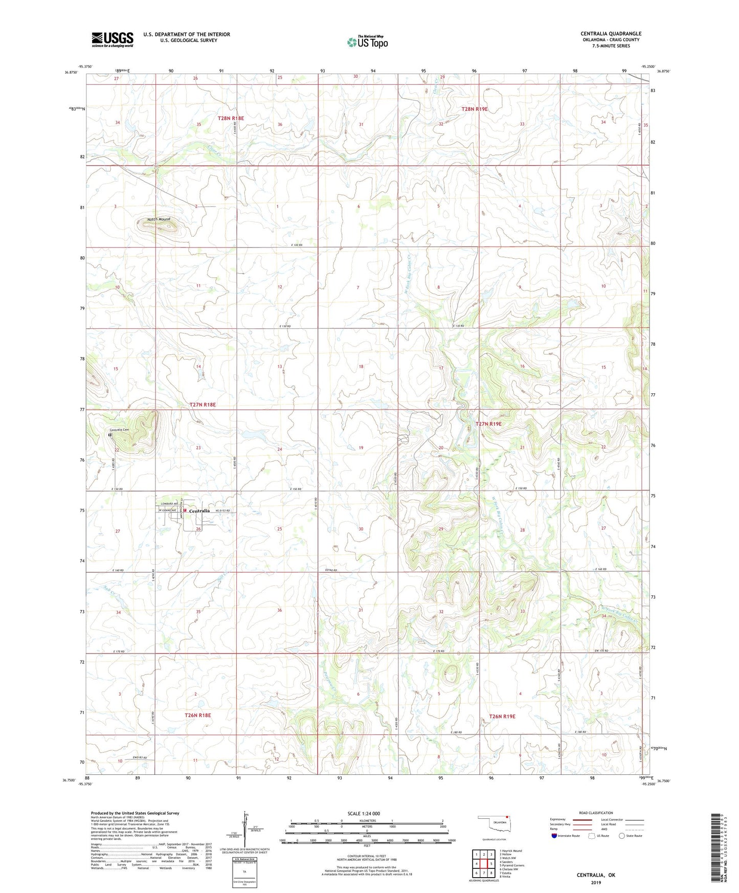
2022 topographic map quadrangle Centralia in the state of Oklahoma. Scale: 1:24000. Based on the newly updated USGS 7.5' US Topo map series, this map is in the following counties: Craig. The map contains contour data, water features, and other items you are used to seeing on USGS maps, but also has updated roads and other features. This is the next generation of topographic maps. Printed on high-quality waterproof paper with UV fade-resistant inks.
Quads adjacent to this one:
West: Sanders
Northwest: Hayrick Mound
North: Hollow
Northeast: Welch NW
East: Pyramid Corners
Southeast: Vinita
South: Estella
Southwest: Chelsea NW
This map covers the same area as the classic USGS quad with code o36095g3.
Contains the following named places: Centralia, Centralia Cemetery, Centralia Fire Department, Notch Mound, Snedden Ranch Number 1 Dam, Snedden Ranch Number 1 Reservoir, Township 3