MyTopo
Ringling NW Oklahoma US Topo Map
Couldn't load pickup availability
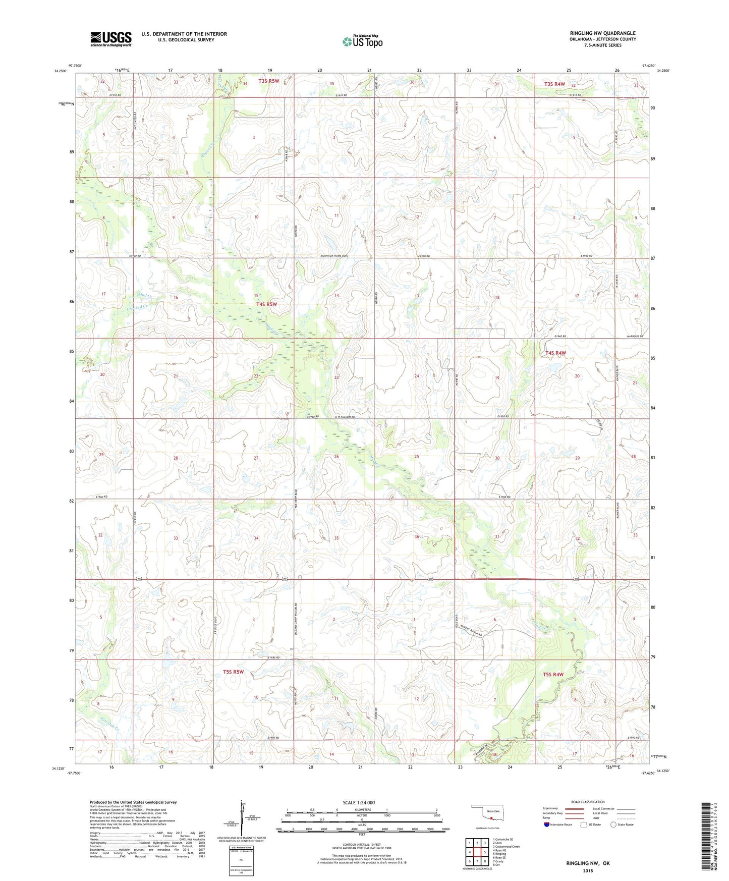
2022 topographic map quadrangle Ringling NW in the state of Oklahoma. Scale: 1:24000. Based on the newly updated USGS 7.5' US Topo map series, this map is in the following counties: Jefferson. The map contains contour data, water features, and other items you are used to seeing on USGS maps, but also has updated roads and other features. This is the next generation of topographic maps. Printed on high-quality waterproof paper with UV fade-resistant inks.
Quads adjacent to this one:
West: Ryan NE
Northwest: Comanche SE
North: Loco
Northeast: Cottonwood Creek
East: Ringling
Southeast: Orr
South: Grady
Southwest: Ryan SE
This map covers the same area as the classic USGS quad with code o34097b6.
Contains the following named places: Crooked Creek, Negro Creek, Oknoname 067007 Dam, Ringling Division, Ringling Municipal Airport, Township of Earl, Willow Branch