MyTopo
Shrewder Oklahoma US Topo Map
Couldn't load pickup availability
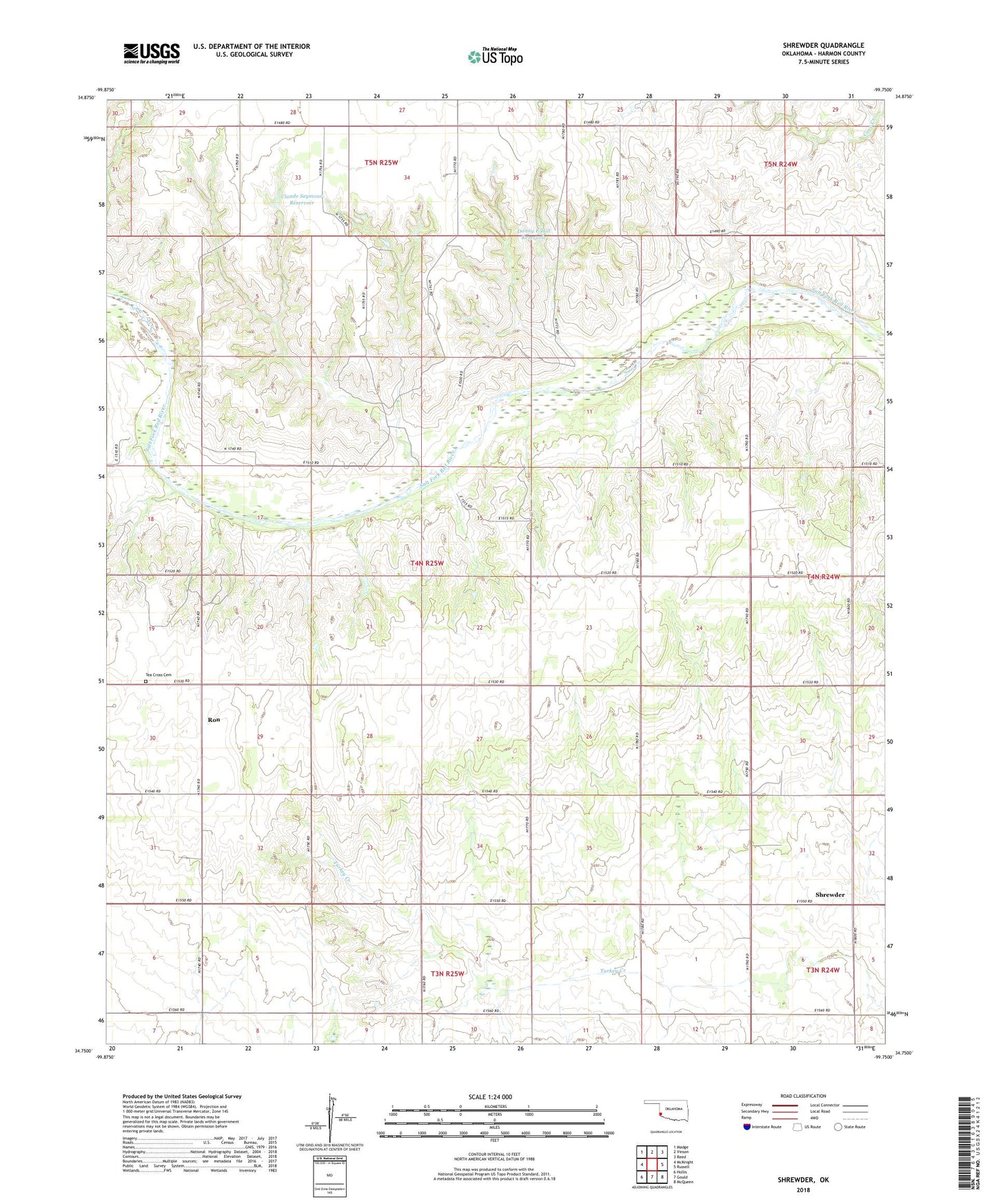
2018 topographic map quadrangle Shrewder in the state of Oklahoma. Scale: 1:24000. Based on the newly updated USGS 7.5' US Topo map series, this map is in the following counties: Harmon. The map contains contour data, water features, and other items you are used to seeing on USGS maps, but also has updated roads and other features. This is the next generation of topographic maps. Printed on high-quality waterproof paper with UV fade-resistant inks.
Quads adjacent to this one:
West: McKnight
Northwest: Madge
North: Vinson
Northeast: Reed
East: Russell
Southeast: McQueen
South: Gould
Southwest: Hollis
Contains the following named places: Bob Moran Dam, Bob Moran Reservoir, Brownlow Church, Claude Seymour Dam, Claude Seymour Reservoir, Danny E Hill Dam, Danny E Hill Reservoir, Dewayne Meyers Dam, Dewayne Meyers Reservoir, Dryden Church, Fairview Church, Gracie Chambers Dam, Gracie Chambers Reservoir, Kent Pence Dam, Kent Pence Reservoir, Ron, Shrewder, Tea Cross Cemetery, Township of Dryden, Tri-County Turkey Creek Site 1a Dam, Tri-County Turkey Creek Site 1a Reservoir, Tri-County Turkey Creek Site 28b Dam, Tri-County Turkey Creek Site 28b Reservoir, Tri-County Turkey Creek Site 28d Dam, Tri-County Turkey Creek Site 28d Reservoir