MyTopo
Signal Mountain Oklahoma US Topo Map
Couldn't load pickup availability
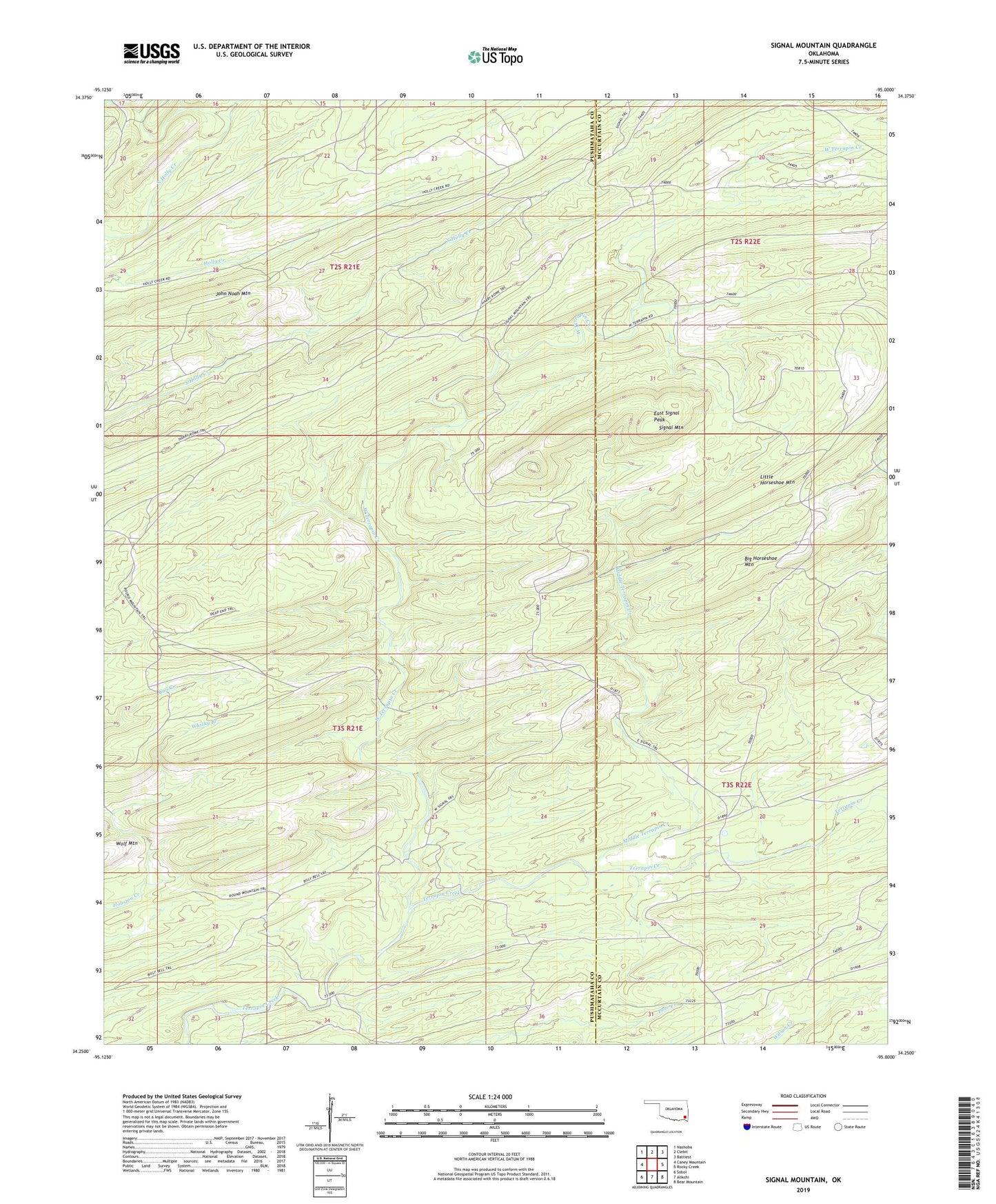
2019 topographic map quadrangle Signal Mountain in the state of Oklahoma. Scale: 1:24000. Based on the newly updated USGS 7.5' US Topo map series, this map is in the following counties: Pushmataha, McCurtain. The map contains contour data, water features, and other items you are used to seeing on USGS maps, but also has updated roads and other features. This is the next generation of topographic maps. Printed on high-quality waterproof paper with UV fade-resistant inks.
Quads adjacent to this one:
West: Caney Mountain
Northwest: Nashoba
North: Clebit
Northeast: Battiest
East: Rocky Creek
Southeast: Bear Mountain
South: Alikchi
Southwest: Sobol
Contains the following named places: Billy Bell Trail, Brannon Ranch, Dead End Trail, East Signal Peak, East Signal Trail, Harry Rowe Trail, John Noah Mountain, Little Horseshoe Trail, Middle Terrapin Creek, Round Mountain Trail, Signal Mountain, Signal Mountain Lookout Tower, Signal Mountain Trail, West Signal Trail, West Terrapin Creek, Whisky Branch