MyTopo
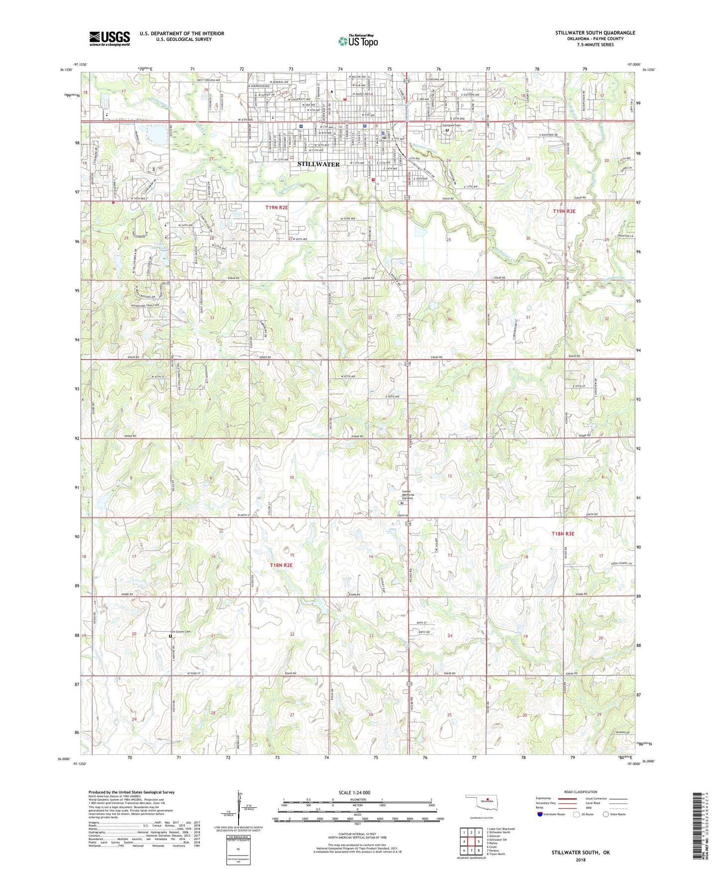
Stillwater South Oklahoma US Topo Map
Couldn't load pickup availability
2022 topographic map quadrangle Stillwater South in the state of Oklahoma. Scale: 1:24000. Based on the newly updated USGS 7.5' US Topo map series, this map is in the following counties: Payne. The map contains contour data, water features, and other items you are used to seeing on USGS maps, but also has updated roads and other features. This is the next generation of topographic maps. Printed on high-quality waterproof paper with UV fade-resistant inks.
Quads adjacent to this one:
West: Stillwater SW
Northwest: Lake Carl Blackwell
North: Stillwater North
Northeast: Glencoe
East: Ripley
Southeast: Tryon North
South: Perkins
Southwest: Coyle
This map covers the same area as the classic USGS quad with code o36097a1.
Contains the following named places: Alliance Bible Church, Arrington Park, Arrowhead Park, Believers Baptist Church, Berry Park, Bible Church, Boomer Creek, Brush Creek, Cedar Isle Lake, Cedar Isle Lake Dam, Central Church of Christ, Chinese Missions, Christian Science Reading Room, Church of God, Church of God in Christ, Couch Park, Countryside Baptist Church, Cow Creek, East Brush Creek, Eight Main Place, Elm Grove Cemetery, Fairlawn Cemetery, First Assembly of God, First Baptist Church, First Christian Church, First Church of the Nazarene, First Presbyterian Church, First United Methodist Church, Frontier Plaza, Gospel Chapel, Highland Park Baptist Church, Highland Park Elementary School, Indonesian Full Gospel Fellowship, Ingham Park, Jefferson School, KOSU-FM (Stillwater), KSPI-AM (Stillwater), KSPI-FM (Stillwater), Lincoln School, Lost Creek Church, Lost Creek Oil Field, Meridian Technology Center, Morningside Park, Mount Zion Baptist Church, Myers Park, Nazarene Student Center, North Perkins Oil Field, Oklahoma Area Vocational Centers, Oklahoma State University Stillwater, Oklahoma State University Stillwater Police Department, Payne County Jail, Payne County Sheriff's Office, Pleasant View School, Rosewood Hills Shopping Center, Sangre Ridge Elementary School, South Junior High School, Stillwater, Stillwater Creek Site 52 Dam, Stillwater Creek Site 52 Reservoir, Stillwater Division, Stillwater Fire Department Station 1, Stillwater Fire Department Station 2, Stillwater Fire Department Station 4, Stillwater Medical Center, Stillwater Medical Center Heliport, Stillwater Middle School, Stillwater Oil Field, Stillwater Police Department, Stillwater Post Office, Sunset Memorial Gardens, Sunset Park, The Church of Jesus Christ of Latter Day Saints, Tower Park, United Brethren Church, Washington School, West Brush Creek, Westwood Elementary School, ZIP Codes: 74074, 74078


