MyTopo
Tipton Oklahoma US Topo Map
Couldn't load pickup availability
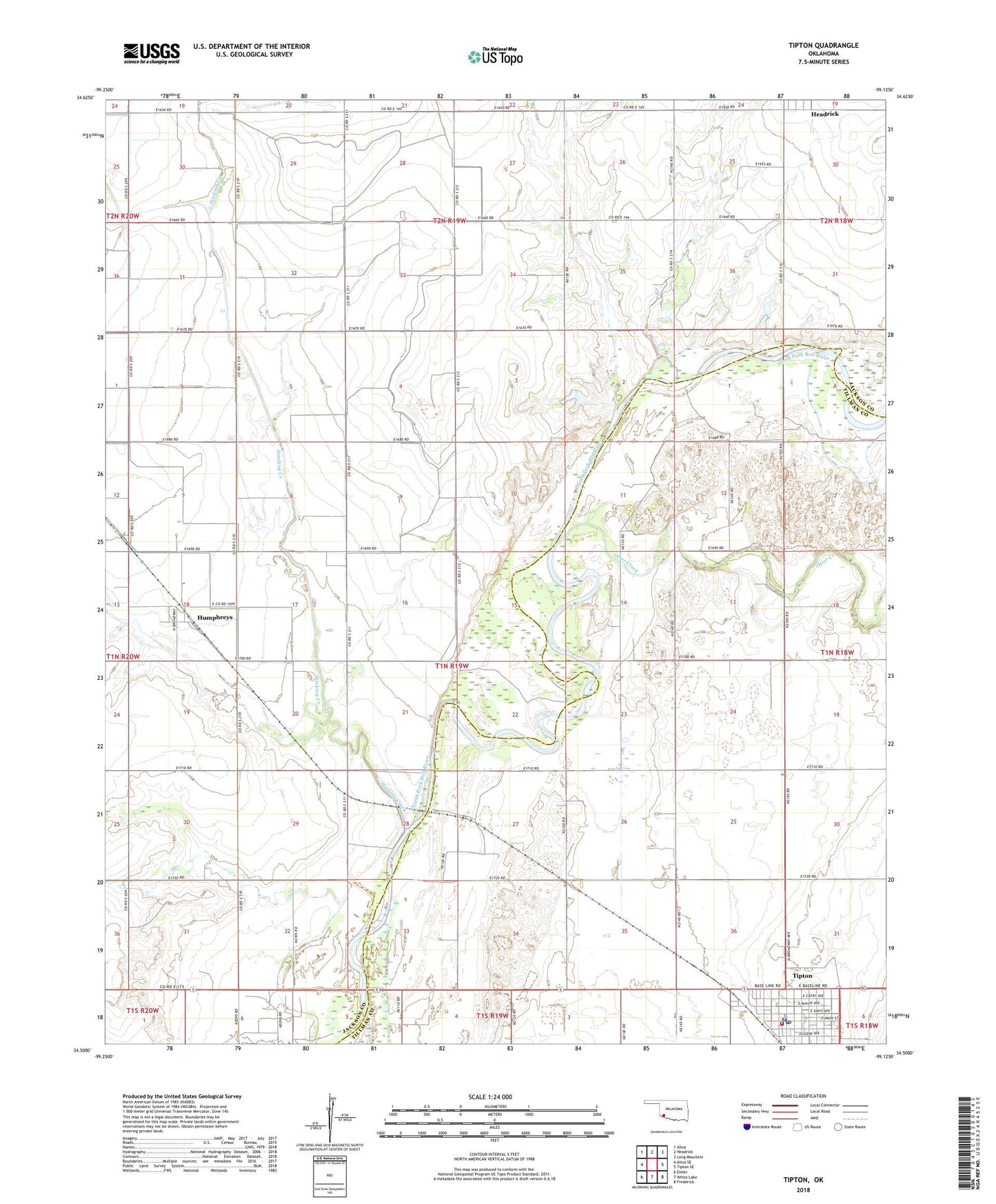
2018 topographic map quadrangle Tipton in the state of Oklahoma. Scale: 1:24000. Based on the newly updated USGS 7.5' US Topo map series, this map is in the following counties: Jackson, Tillman. The map contains contour data, water features, and other items you are used to seeing on USGS maps, but also has updated roads and other features. This is the next generation of topographic maps. Printed on high-quality waterproof paper with UV fade-resistant inks.
Quads adjacent to this one:
West: Altus SE
Northwest: Altus
North: Headrick
Northeast: Long Mountain
East: Tipton SE
Southeast: Frederick
South: White Lake
Southwest: Elmer
Contains the following named places: Boucher Oil Field, Humphreys, Oknoname 065003 Dam, Oknoname 065003 Reservoir, Otter Creek, Stinking Creek, Tipton, Tipton Police Department, Tipton Post Office, Tipton Volunteer Fire Department, Town of Tipton, Township of Headrick