MyTopo
Winganon Oklahoma US Topo Map
Couldn't load pickup availability
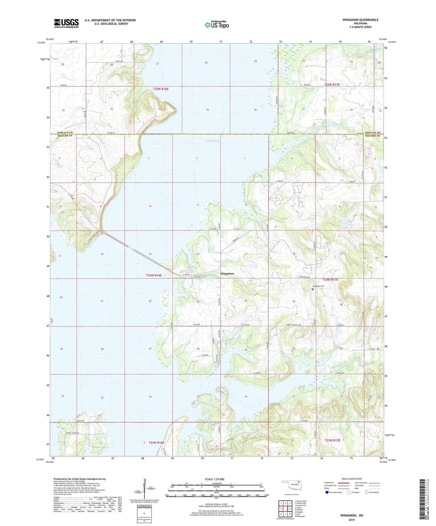
2022 topographic map quadrangle Winganon in the state of Oklahoma. Scale: 1:24000. Based on the newly updated USGS 7.5' US Topo map series, this map is in the following counties: Rogers, Nowata. The map contains contour data, water features, and other items you are used to seeing on USGS maps, but also has updated roads and other features. This is the next generation of topographic maps. Printed on high-quality waterproof paper with UV fade-resistant inks.
Quads adjacent to this one:
West: Talala
Northwest: Nowata West
North: Nowata East
Northeast: Chelsea NW
East: Chelsea
Southeast: Bushyhead
South: Foyil
Southwest: Oologah
This map covers the same area as the classic USGS quad with code o36095e5.
Contains the following named places: Lightning Creek, Oologah Lake, Oologah Wildlife Managment Area, Plumb Creek, Spencer Creek, Spencer Creek Cove Public Use Area, Talala Creek, Winganon, Winganon Cemetery, Winganon Church