MyTopo
Bear Butte Oregon US Topo Map
Couldn't load pickup availability
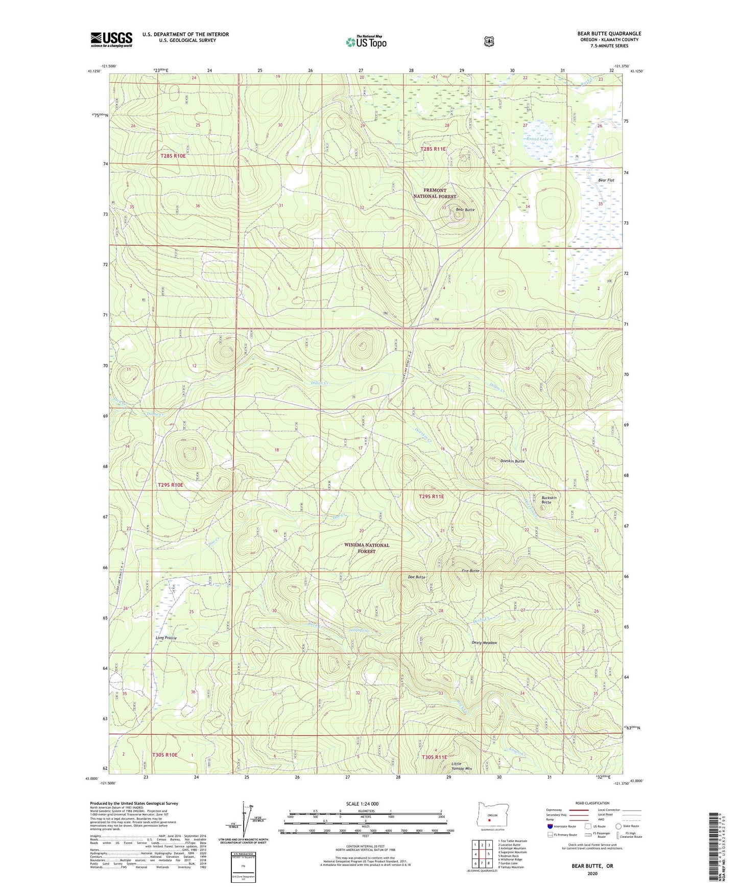
2020 topographic map quadrangle Bear Butte in the state of Oregon. Scale: 1:24000. Based on the newly updated USGS 7.5' US Topo map series, this map is in the following counties: Klamath. The map contains contour data, water features, and other items you are used to seeing on USGS maps, but also has updated roads and other features. This is the next generation of topographic maps. Printed on high-quality waterproof paper with UV fade-resistant inks.
Quads adjacent to this one:
West: Sugarpine Mountain
Northwest: Tea Table Mountain
North: Location Butte
Northeast: Antelope Mountain
East: Rodman Rock
Southeast: Yamsay Mountain
South: Gordon Lake
Southwest: Wildhorse Ridge
Contains the following named places: Bear Butte, Bear Butte Lookout, Bear Flat, Buckskin Butte, Deely Creek, Deely Meadow, Deely Spring, Dillon Creek, Doe Butte, Doe Creek, Doeskin Butte, Doeskin Creek, Emery Well, Fire Butte, Knight Creek, Long Prairie, Long Prairie Corral, McKinney Ranch, Porter Ranch, Rock Creek, Round Lake