
MyTopo
Benjamin Lake Oregon US Topo Map
Couldn't load pickup availability
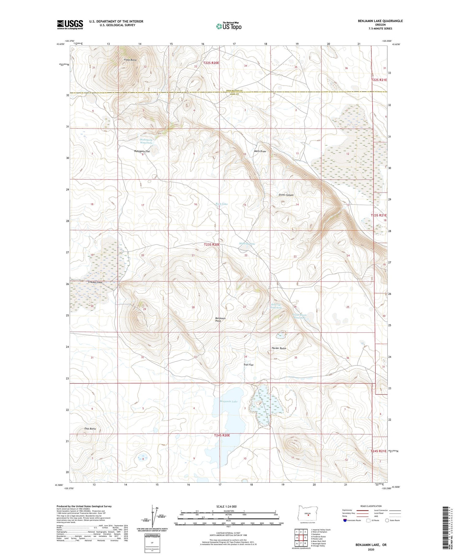
2020 topographic map quadrangle Benjamin Lake in the state of Oregon. Scale: 1:24000. Based on the newly updated USGS 7.5' US Topo map series, this map is in the following counties: Lake, Deschutes. The map contains contour data, water features, and other items you are used to seeing on USGS maps, but also has updated roads and other features. This is the next generation of topographic maps. Printed on high-quality waterproof paper with UV fade-resistant inks.
Quads adjacent to this one:
West: Frederick Butte
Northwest: Imperial Valley South
North: West of Hampton
Northeast: Hampton
East: Potato Lake
Southeast: Chicago Valley
South: Moonlight Butte
Southwest: Mean Rock Well
Contains the following named places: Benjamin Lake, Benjamin Point, Brooks Lake, Cracker Lake, East Butte, Elvies Canyon, Great Basin Waterhole, Harder Butte, Hill Top Waterhole, Mahogany Flat, Mahogany Waterhole, Midway Lake, Rock Lake, Trail Flat, Wells Draw, Yreka Butte


