MyTopo
Chicago Valley Oregon US Topo Map
Couldn't load pickup availability
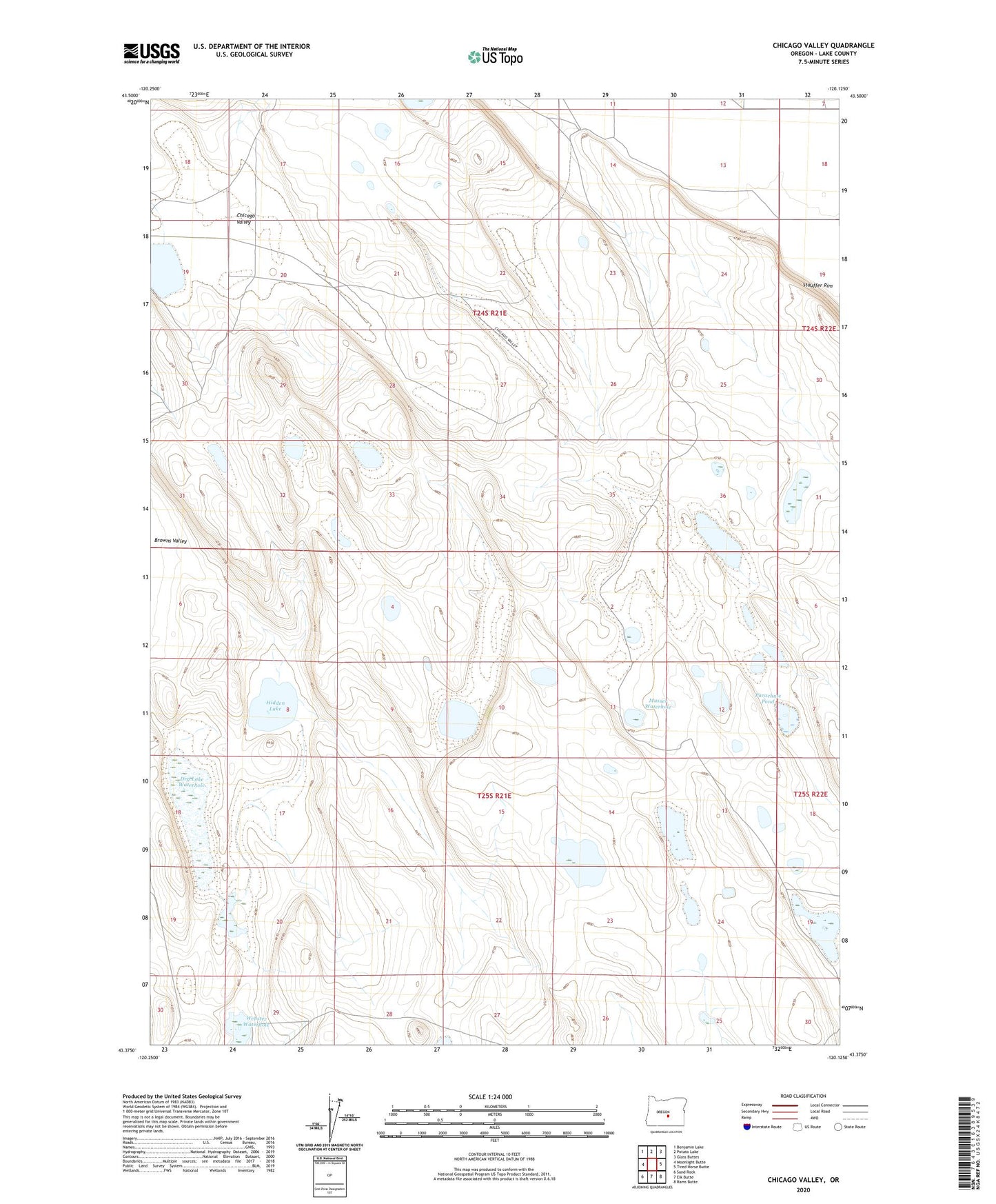
2023 topographic map quadrangle Chicago Valley in the state of Oregon. Scale: 1:24000. Based on the newly updated USGS 7.5' US Topo map series, this map is in the following counties: Lake. The map contains contour data, water features, and other items you are used to seeing on USGS maps, but also has updated roads and other features. This is the next generation of topographic maps. Printed on high-quality waterproof paper with UV fade-resistant inks.
Quads adjacent to this one:
West: Moonlight Butte
Northwest: Benjamin Lake
North: Potato Lake
Northeast: Glass Buttes
East: Tired Horse Butte
Southeast: Rams Butte
South: Elk Butte
Southwest: Sand Rock
This map covers the same area as the classic USGS quad with code o43120d2.
Contains the following named places: Chicago Valley, Dry Lake Waterhole, False Waterhole, Hidden Lake, Hollow Waterhole, Juniper Waterhole, Musser Waterhole, One Crock Waterhole, Parachute Pond, Webster Waterhole