MyTopo
Blalock Mountain Oregon US Topo Map
Couldn't load pickup availability
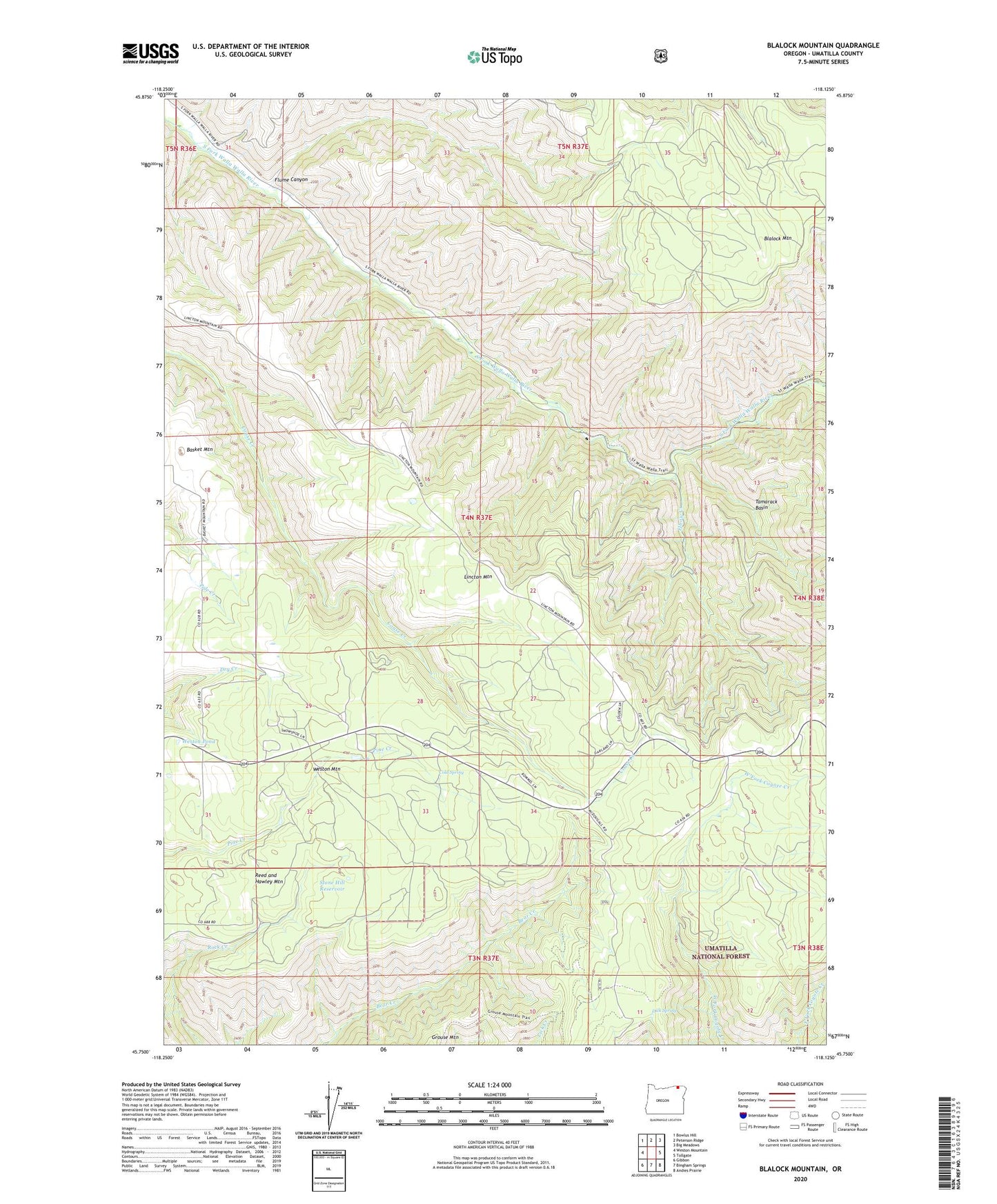
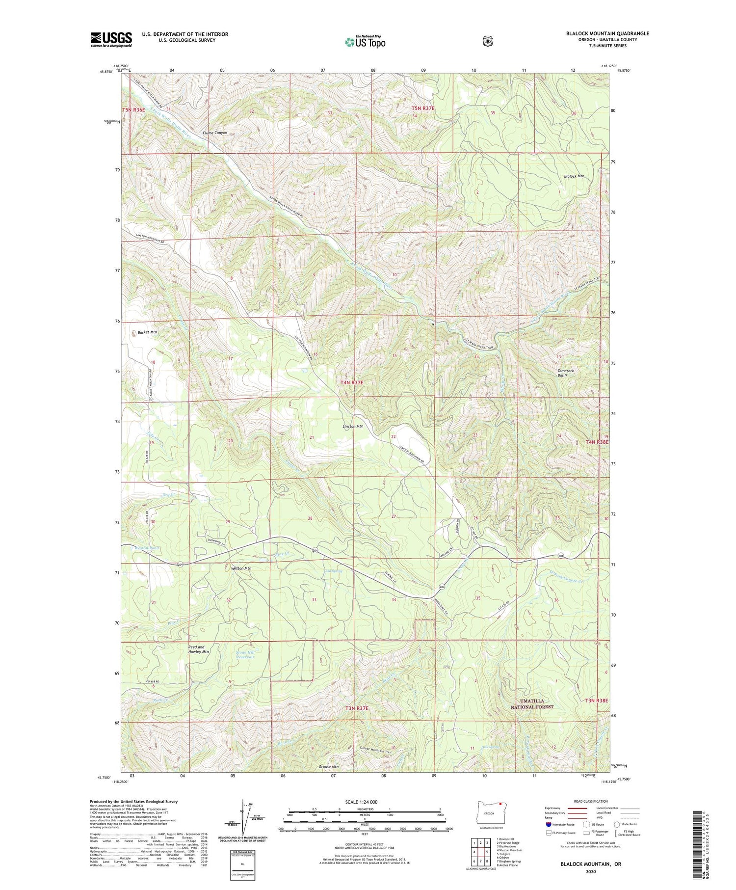
2020 topographic map quadrangle Blalock Mountain in the state of Oregon. Scale: 1:24000. Based on the newly updated USGS 7.5' US Topo map series, this map is in the following counties: Umatilla. The map contains contour data, water features, and other items you are used to seeing on USGS maps, but also has updated roads and other features. This is the next generation of topographic maps. Printed on high-quality waterproof paper with UV fade-resistant inks.
Quads adjacent to this one:
West: Weston Mountain
Northwest: Bowlus Hill
North: Peterson Ridge
Northeast: Big Meadows
East: Tollgate
Southeast: Andies Prairie
South: Bingham Springs
Southwest: Gibbon
Contains the following named places: Basket Mountain, Berkley Post Office, Blalock Mountain, Blue Mountain Camp, Cold Spring, Demaris Cabin, Dick Spring, Edgewood Post Office, Elbow Creek, Flume Canyon, Harris Park Recreation Site, Lincton Mountain, McDougall Camp, Morning Creek Sno-Park, Reed and Hawley Mountain, South Fork Camp, Stone Hill Reservoir, Tamarack Basin, Tanks, Tanks Post Office, Tollgate Chateau, Weston Mountain, Weston Pond