MyTopo
Butler Hill Oregon US Topo Map
Couldn't load pickup availability
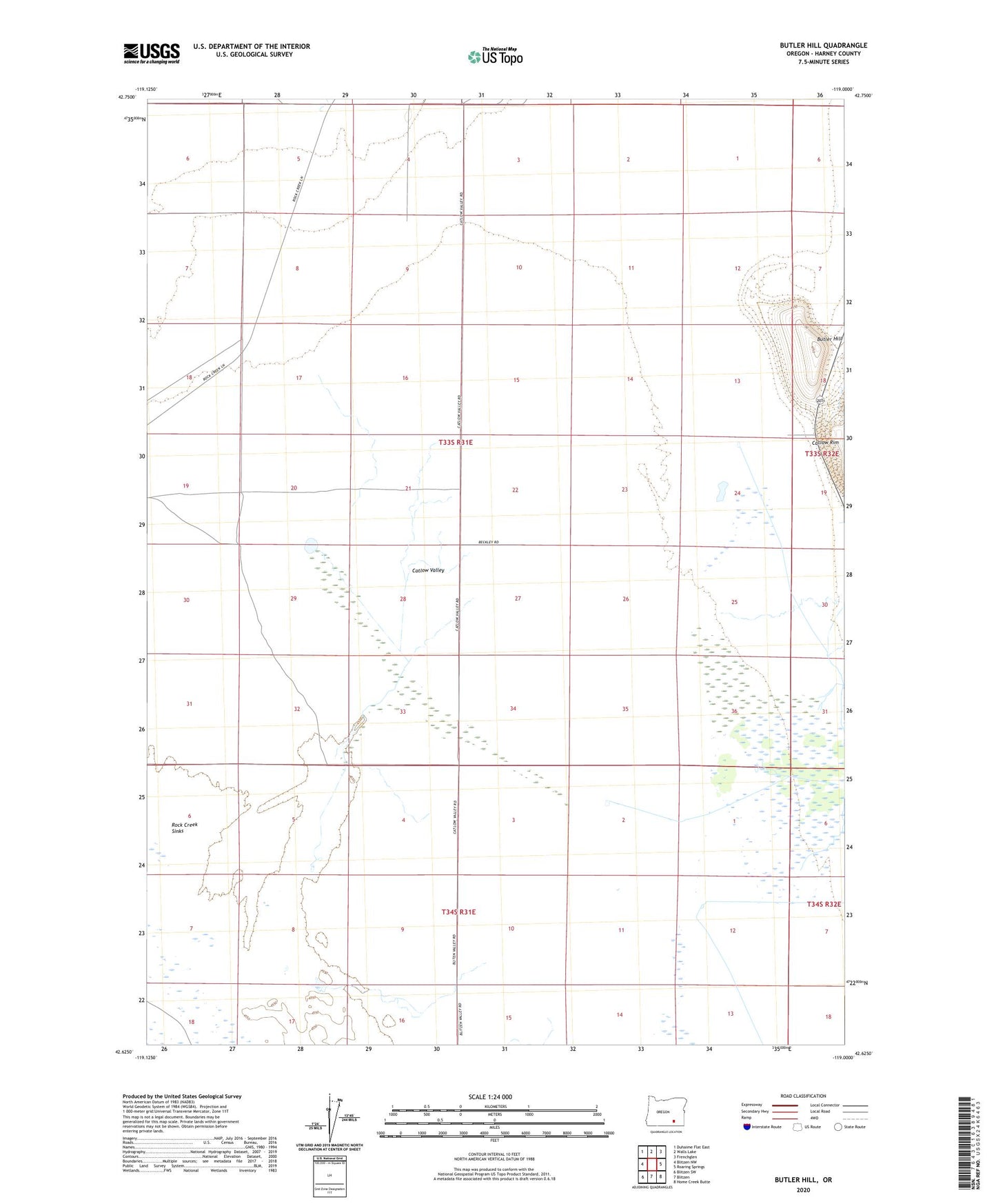
2023 topographic map quadrangle Butler Hill in the state of Oregon. Scale: 1:24000. Based on the newly updated USGS 7.5' US Topo map series, this map is in the following counties: Harney. The map contains contour data, water features, and other items you are used to seeing on USGS maps, but also has updated roads and other features. This is the next generation of topographic maps. Printed on high-quality waterproof paper with UV fade-resistant inks.
Quads adjacent to this one:
West: Blitzen NW
Northwest: Duhaime Flat East
North: Walls Lake
Northeast: Frenchglen
East: Roaring Springs
Southeast: Home Creek Butte
South: Blitzen
Southwest: Blitzen SW
This map covers the same area as the classic USGS quad with code o42119f1.
Contains the following named places: Beckley, Beckley Post Office, Butler Hill, Catlow, Catlow Post Office, Corral Creek, Koontz Homestead, Rieckens Corner, Rock Creek Sinks, ZIP Code: 97736