MyTopo
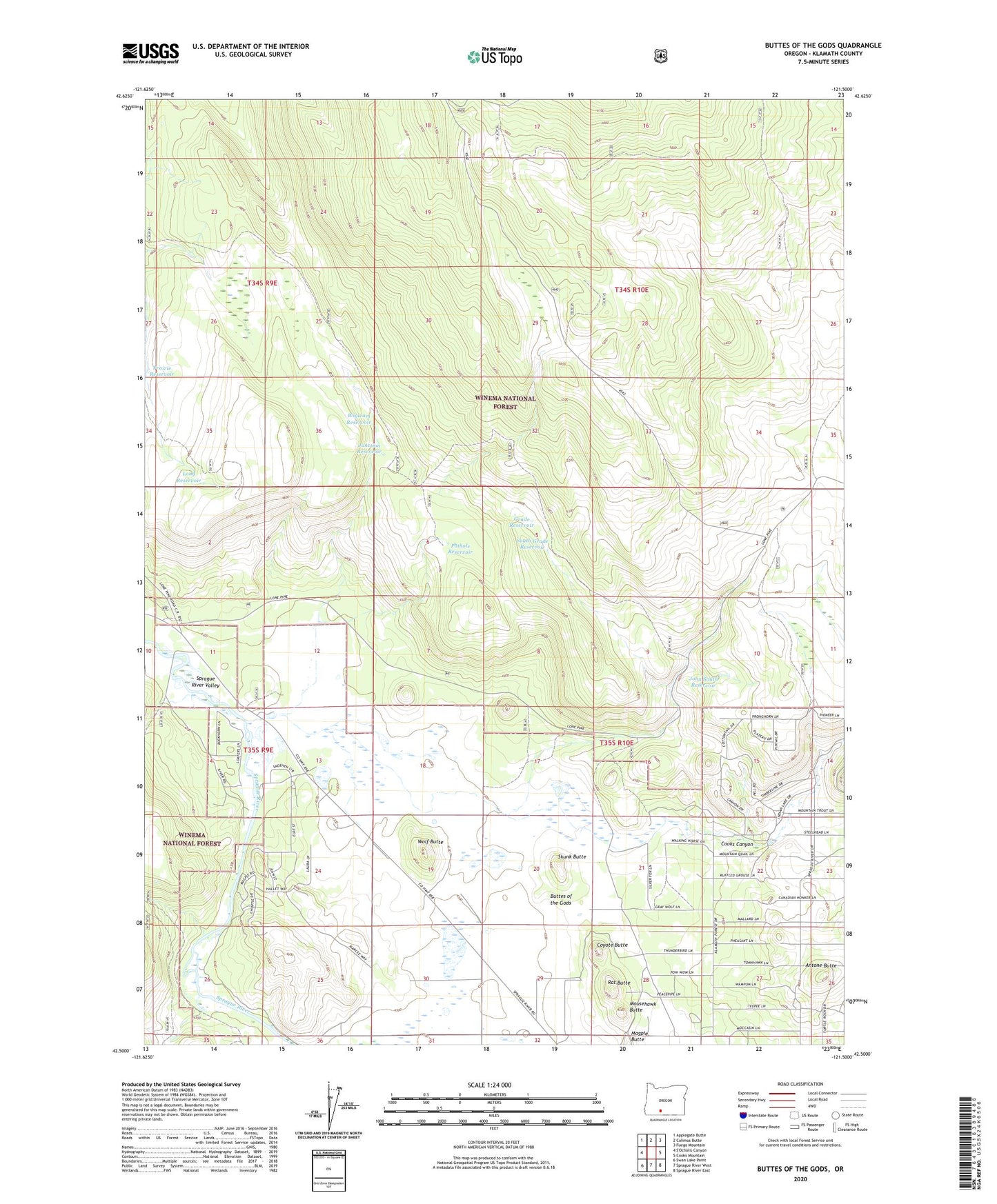
Buttes of the Gods Oregon US Topo Map
Couldn't load pickup availability
Also explore the Buttes of the Gods Forest Service Topo of this same quad for updated USFS data
2023 topographic map quadrangle Buttes of the Gods in the state of Oregon. Scale: 1:24000. Based on the newly updated USGS 7.5' US Topo map series, this map is in the following counties: Klamath. The map contains contour data, water features, and other items you are used to seeing on USGS maps, but also has updated roads and other features. This is the next generation of topographic maps. Printed on high-quality waterproof paper with UV fade-resistant inks.
Quads adjacent to this one:
Northwest: Applegate Butte
North: Calimus Butte
Northeast: Fuego Mountain
East: Cooks Mountain
Southeast: Sprague River East
South: Sprague River West
Southwest: Swan Lake Point
This map covers the same area as the classic USGS quad with code o42121e5.
Contains the following named places: Antone Butte, Cooks Canyon, Coyote Butte, Grade Reservoir, John Smith Reservoir, Junction Reservoir, Lone Pine, Long Reservoir, Magpie Butte, Mousehawk Butte, Pothole Reservoir, Prairie Reservoir, Rat Butte, Skunk Butte, South Grade Reservoir, Wigwam Reservoir, Wolf Butte