
MyTopo
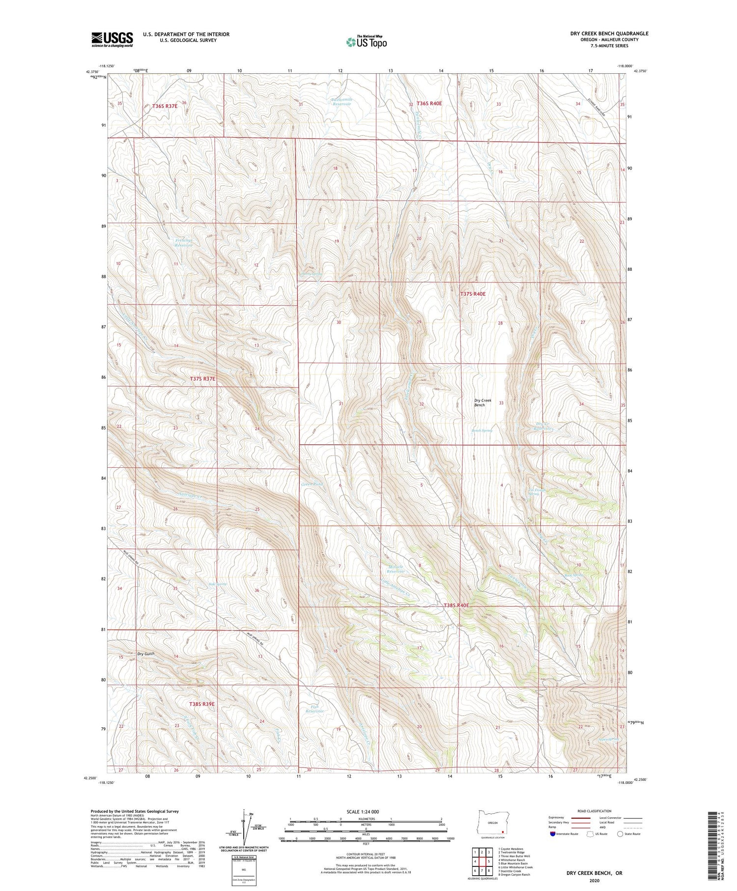
Dry Creek Bench Oregon US Topo Map
Couldn't load pickup availability
2020 topographic map quadrangle Dry Creek Bench in the state of Oregon. Scale: 1:24000. Based on the newly updated USGS 7.5' US Topo map series, this map is in the following counties: Malheur. The map contains contour data, water features, and other items you are used to seeing on USGS maps, but also has updated roads and other features. This is the next generation of topographic maps. Printed on high-quality waterproof paper with UV fade-resistant inks.
Quads adjacent to this one:
West: Whitehorse Ranch
Northwest: Coyote Meadows
North: Twelvemile Ridge
Northeast: Three Man Butte Well
East: Blue Mountain Basin
Southeast: Oregon Canyon Ranch
South: Doolittle Creek
Southwest: Little Whitehorse Creek
Contains the following named places: Aspen Spring, Bench Spring, Buck Spring, Cherry Spring, Dry Creek Bench, Dry Creek Reservoir, Dry Gulch, Fish Creek Breaks, Fish Reservoir, Frenchys Reservoir, Green Pond, Miracle Reservoir, Side Spring, Tin Trough Spring, Twelvemile Reservoir


