MyTopo
Haines Oregon US Topo Map
Couldn't load pickup availability
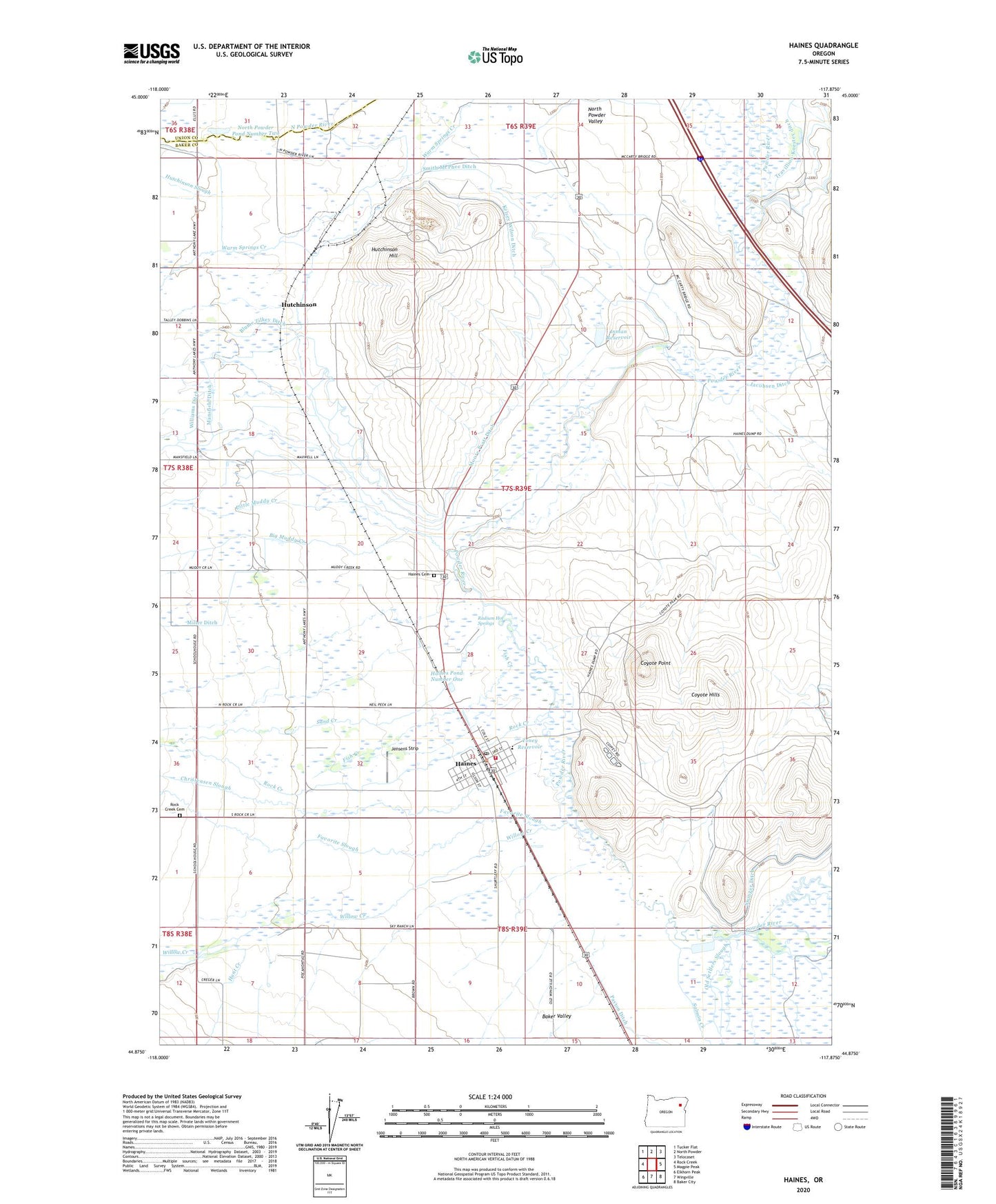
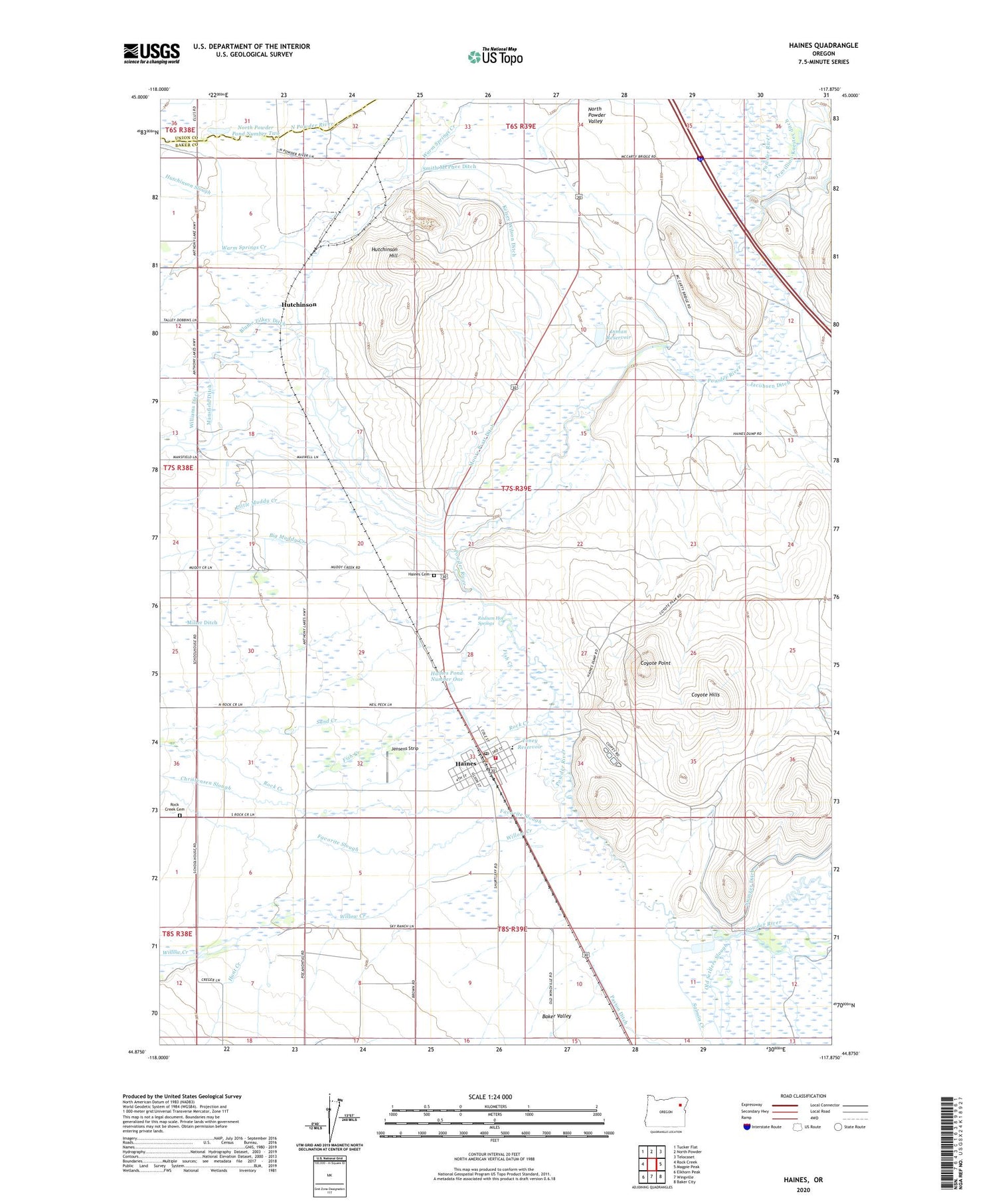
2020 topographic map quadrangle Haines in the state of Oregon. Scale: 1:24000. Based on the newly updated USGS 7.5' US Topo map series, this map is in the following counties: Baker, Union. The map contains contour data, water features, and other items you are used to seeing on USGS maps, but also has updated roads and other features. This is the next generation of topographic maps. Printed on high-quality waterproof paper with UV fade-resistant inks.
Quads adjacent to this one:
West: Rock Creek
Northwest: Tucker Flat
North: North Powder
Northeast: Telocaset
East: Magpie Peak
Southeast: Baker City
South: Wingville
Southwest: Elkhorn Peak
Contains the following named places: Baker County Library Haines Branch Library, Baldock Slough, Big Muddy Creek, Christensen Slough, City of Haines, Coyote Hills, Coyote Point, Eastern Oregon Museum, Ellis Ditch, Favorite Slough, Fish Creek, Haines, Haines 1800s Dick Camp Memorial Park, Haines Cemetery, Haines City Hall, Haines Elementary School, Haines Fire Protection District Cole Road, Haines Pond Number One, Haines Post Office, Haines Public Works Department Office, Haines Stampede Rodeo Grounds, Haines Waste Treatment Ponds, Hunt Creek, Hutchinson, Hutchinson Hill, Hutchinson Post Office, Hutchinson Slough, Inman Reservoir, Jacobsen Ditch, Jensens Strip, Kelsey Wilson Ditch, Lilly Pump, Little Muddy Creek, Maxwell Pond, Mid Slough, Mink Creek, Moore Pratt Ditch, North Powder Pond Number Two, Old Settlers Slough, Pollman Dam, Radium Hot Springs, Rock Creek, Rock Creek Cemetery, Salmon Creek, Sand Creek, Smith McPhee Ditch, Toney Reservoir, Travillion-Koester ditch, Willow Creek


