MyTopo
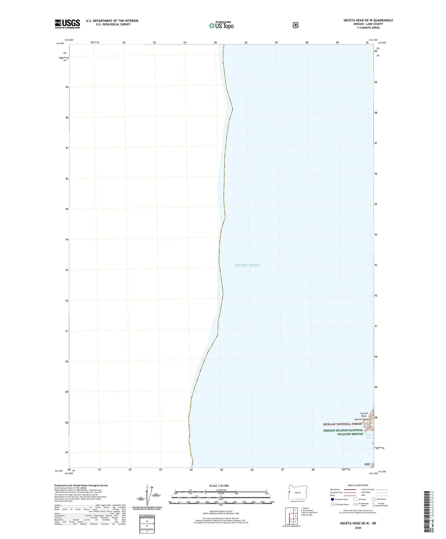
Heceta Head OE W Oregon US Topo Map
Couldn't load pickup availability
Also explore the Heceta Head OE W Forest Service Topo of this same quad for updated USFS data
2024 topographic map quadrangle Heceta Head OE W in the state of Oregon. Scale: 1:24000. Based on the newly updated USGS 7.5' US Topo map series, this map is in the following counties: Lane. The map contains contour data, water features, and other items you are used to seeing on USGS maps, but also has updated roads and other features. This is the next generation of topographic maps. Printed on high-quality waterproof paper with UV fade-resistant inks.
Quads adjacent to this one:
Northeast: Yachats
East: Heceta Head
Southeast: Mercer Lake
South: Mercer Lake OE W
Contains the following named places: Cape Cove, Conical Rock, Heceta Head, Heceta Head Lighthouse, Heceta Head Lighthouse Keepers House