MyTopo
Jacobs Reservoir Oregon US Topo Map
Couldn't load pickup availability
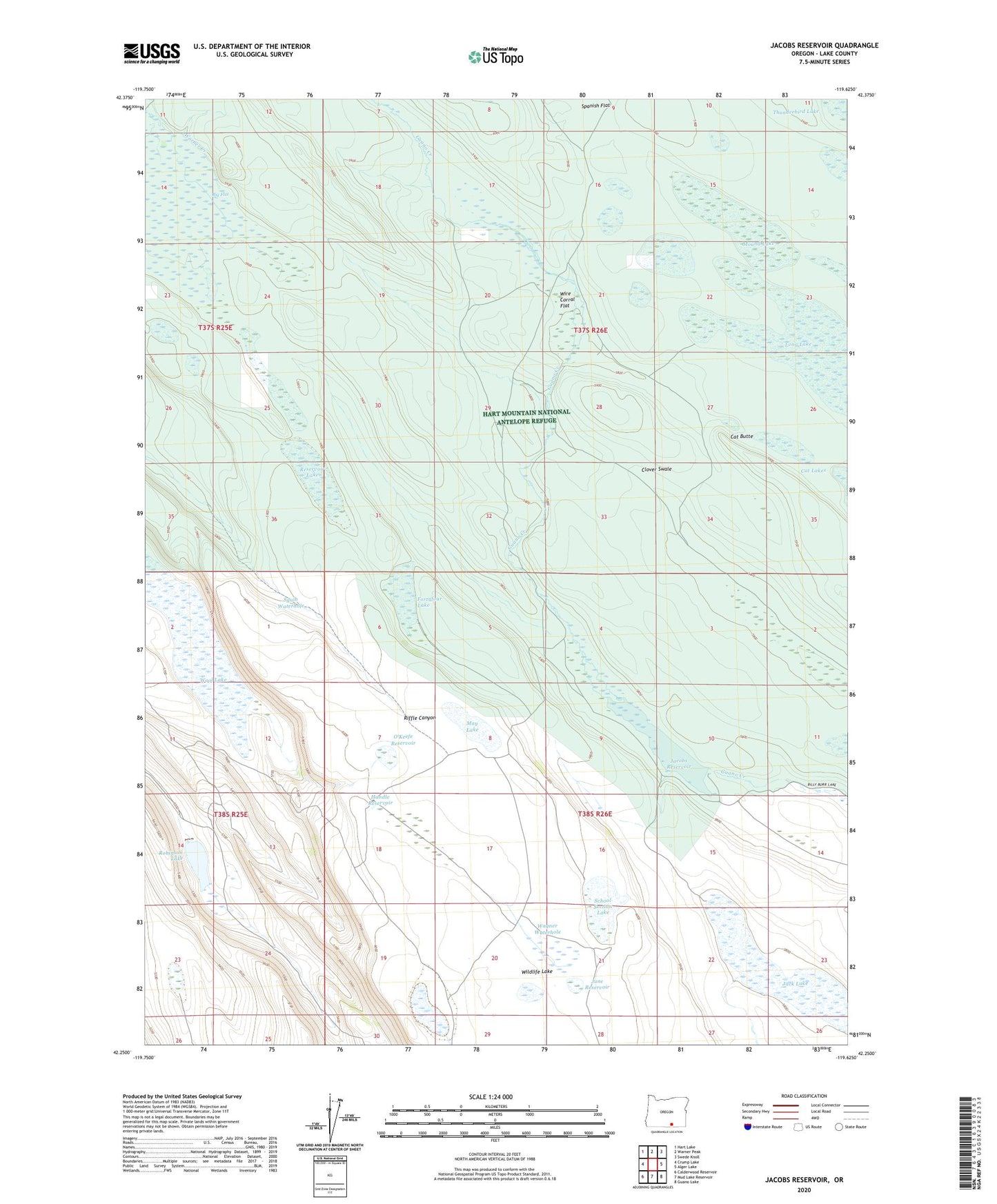
2020 topographic map quadrangle Jacobs Reservoir in the state of Oregon. Scale: 1:24000. Based on the newly updated USGS 7.5' US Topo map series, this map is in the following counties: Lake. The map contains contour data, water features, and other items you are used to seeing on USGS maps, but also has updated roads and other features. This is the next generation of topographic maps. Printed on high-quality waterproof paper with UV fade-resistant inks.
Quads adjacent to this one:
West: Crump Lake
Northwest: Hart Lake
North: Warner Peak
Northeast: Swede Knoll
East: Alger Lake
Southeast: Guano Lake
South: Mud Lake Reservoir
Southwest: Calderwood Reservoir
Contains the following named places: Cat Butte, Fortyfour Lake, Handle Reservoir, Jacobs Reservoir, June Reservoir, Long Lake, May Lake, Mound Lake, O'Keefe Reservoir, Reservoir Lake, Robinson Dam, Robinson Lake, School Section Lake, Squib Waterhole, Thunderbird Lake, Wagner Waterhole, Warner Creek, Wildlife Lake, Wire Corral Flat, Wool Lake