MyTopo
Crump Lake Oregon US Topo Map
Couldn't load pickup availability
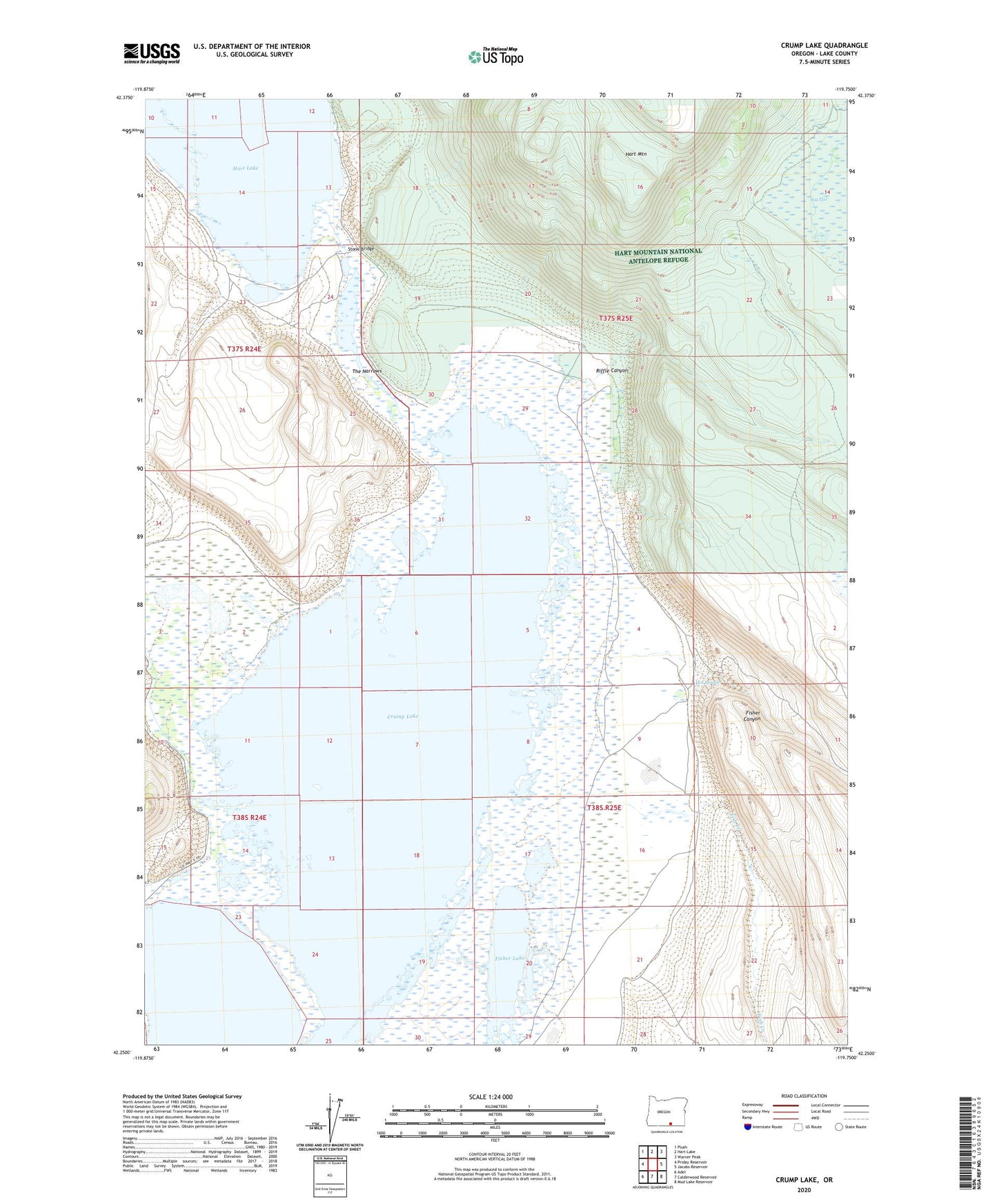
2024 topographic map quadrangle Crump Lake in the state of Oregon. Scale: 1:24000. Based on the newly updated USGS 7.5' US Topo map series, this map is in the following counties: Lake. The map contains contour data, water features, and other items you are used to seeing on USGS maps, but also has updated roads and other features. This is the next generation of topographic maps. Printed on high-quality waterproof paper with UV fade-resistant inks.
Quads adjacent to this one:
West: Priday Reservoir
Northwest: Plush
North: Hart Lake
Northeast: Warner Peak
East: Jacobs Reservoir
Southeast: Mud Lake Reservoir
South: Calderwood Reservoir
Southwest: Adel
This map covers the same area as the classic USGS quad with code o42119c7.
Contains the following named places: Big Flat, Calderwood Ranch, Crump Lake, Dixon Place, Fish Creek, Fisher Canyon, Fisher Lake, Hot Springs, Priday Dam, Riffle Canyon, Stone Bridge, The Narrows