MyTopo
Warner Peak Oregon US Topo Map
Couldn't load pickup availability
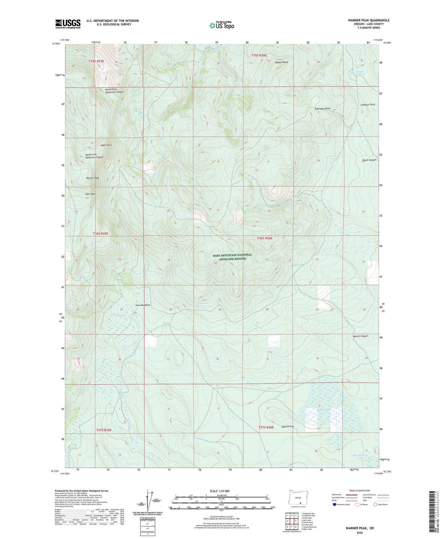
2024 topographic map quadrangle Warner Peak in the state of Oregon. Scale: 1:24000. Based on the newly updated USGS 7.5' US Topo map series, this map is in the following counties: Lake. The map contains contour data, water features, and other items you are used to seeing on USGS maps, but also has updated roads and other features. This is the next generation of topographic maps. Printed on high-quality waterproof paper with UV fade-resistant inks.
Quads adjacent to this one:
West: Hart Lake
Northwest: Flagstaff Lake
North: Campbell Lake
Northeast: Flook Lake
East: Swede Knoll
Southeast: Alger Lake
South: Jacobs Reservoir
Southwest: Crump Lake
This map covers the same area as the classic USGS quad with code o42119d6.
Contains the following named places: Adams Butte, Barnhardy, Blue Sky Hotel Camp, Box Creek, Corral Creek, Cottonwood Spring, Goat Creek, High Point, Hot Spring, Hot Springs Campground, Indian Springs, Lookout Point, Martin Canyon, Old Camp Warner, Post Meadows, Spanish Flat, Spanish Lake, Stockade Creek, Warner Peak