MyTopo
Kamela SE Oregon US Topo Map
Couldn't load pickup availability
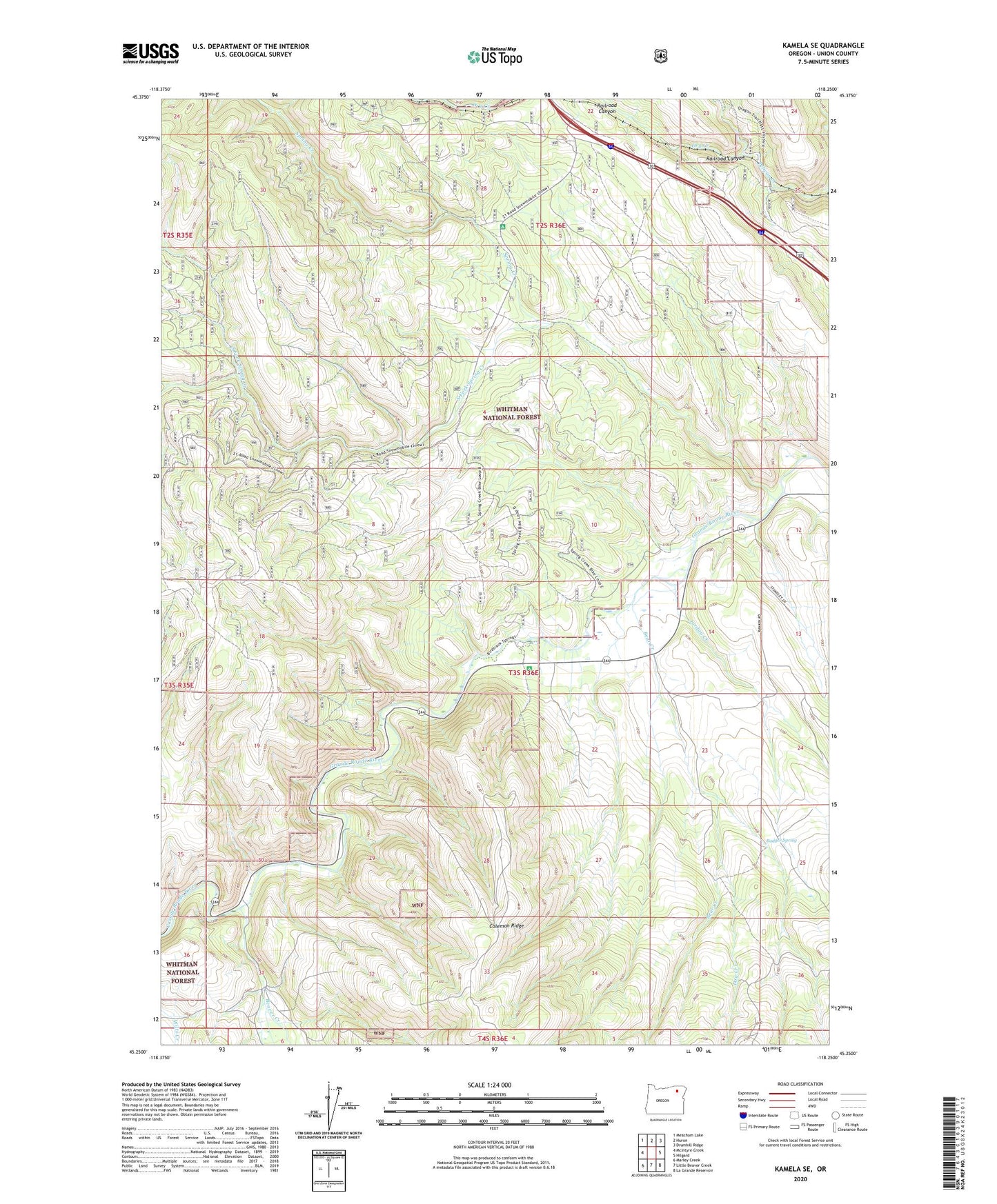
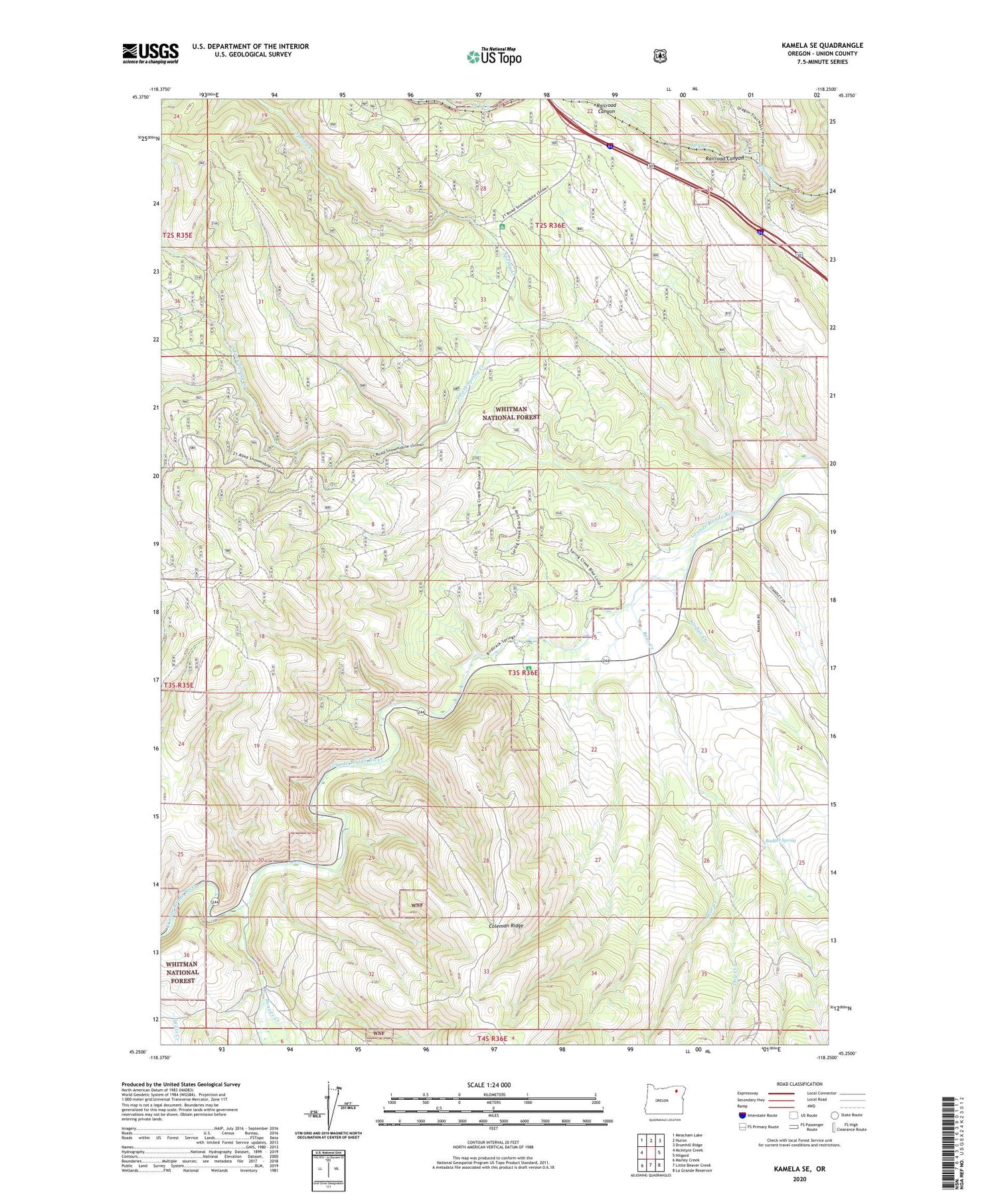
2020 topographic map quadrangle Kamela SE in the state of Oregon. Scale: 1:24000. Based on the newly updated USGS 7.5' US Topo map series, this map is in the following counties: Union. The map contains contour data, water features, and other items you are used to seeing on USGS maps, but also has updated roads and other features. This is the next generation of topographic maps. Printed on high-quality waterproof paper with UV fade-resistant inks.
Quads adjacent to this one:
West: McIntyre Creek
Northwest: Meacham Lake
North: Huron
Northeast: Drumhill Ridge
East: Hilgard
Southeast: La Grande Reservoir
South: Little Beaver Creek
Southwest: Marley Creek
Contains the following named places: Badger Spring, Bear Creek, Beaver Creek, Bird Track Springs Recreation Site, Blue Mountain Crossing Sno-Park, Bunny Hill Recreation Site, Dog Creek, Dry Creek, Glover, Jordan Creek, Railroad Canyon, Red Bridge State Park, South Fork Spring Creek, Spring Creek, Spring Creek Recreation Site, Standley Cabin