MyTopo
Drumhill Ridge Oregon US Topo Map
Couldn't load pickup availability
Also explore the Drumhill Ridge Forest Service Topo of this same quad for updated USFS data
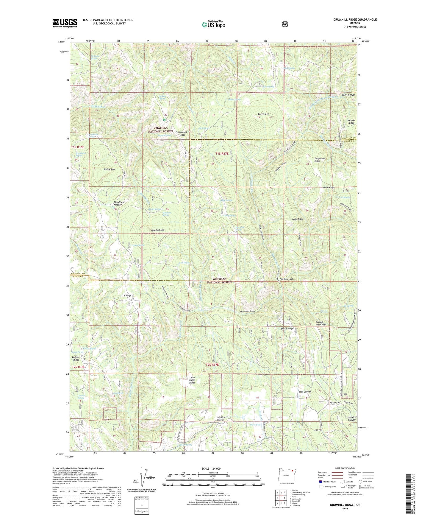
2024 topographic map quadrangle Drumhill Ridge in the state of Oregon. Scale: 1:24000. Based on the newly updated USGS 7.5' US Topo map series, this map is in the following counties: Union, Umatilla. The map contains contour data, water features, and other items you are used to seeing on USGS maps, but also has updated roads and other features. This is the next generation of topographic maps. Printed on high-quality waterproof paper with UV fade-resistant inks.
Quads adjacent to this one:
West: Huron
Northwest: Duncan
North: Thimbleberry Mountain
Northeast: Sanderson Spring
East: Summerville
Southeast: La Grande
South: Hilgard
Southwest: Kamela SE
This map covers the same area as the classic USGS quad with code o45118d2.
Contains the following named places: Allen Spring, Burnt Canyon, Camp One, Camp Three, Cantrell Spring, Carters Hog Ridge, Daniel Spring, Deer Lick Spring, Dixie Flat, Dollar Spring, Drumhill Ridge, End Spring, Fiddlers Hell, Five Points Trail, Fox Hill, Green Mountain, Horse Ridge, Hoskins Spring, Hugh Spring, Indian Spring, Kellers Cabin, Knob Creek, Lewis Spring, Little John Day Creek, Long Pond, Long Ridge, Middle Fork Mount Emily Creek, Mount Emily Creek, Mouse Spring, North Flat Spring, Rock Spring, Rocky Flat, S S Spring, Sacajawea Spring, Simerson Spring, Smith Ridge, Spring Mountain, Standfield Meadow, Sugarloaf Mountain, Summit Guard Station, Summit Mount Emily Trail, Summit Spring, Telephone Ridge, Three Cabin Ridge, Tie Camp Spring, Tie Creek, Tie Spring, Walker Spring, Weed Spring, Y Ridge, Yarn Spring