MyTopo
Kinney Lake Oregon US Topo Map
Couldn't load pickup availability
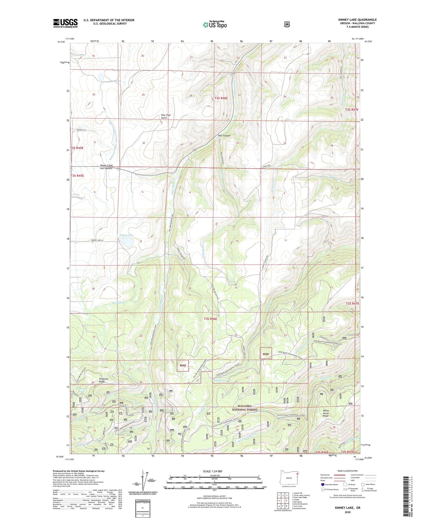
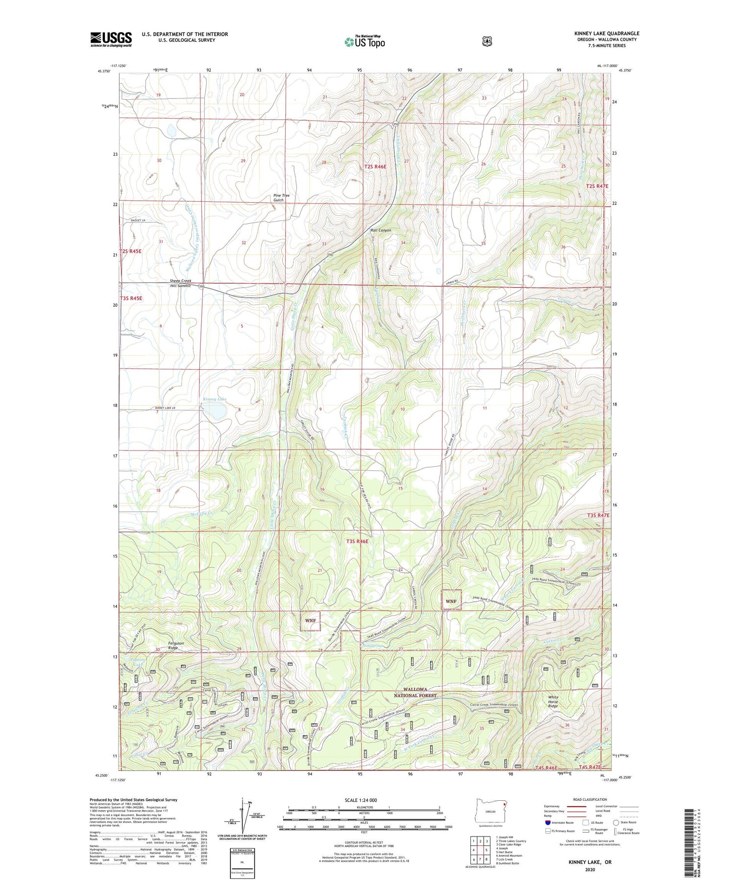
2020 topographic map quadrangle Kinney Lake in the state of Oregon. Scale: 1:24000. Based on the newly updated USGS 7.5' US Topo map series, this map is in the following counties: Wallowa. The map contains contour data, water features, and other items you are used to seeing on USGS maps, but also has updated roads and other features. This is the next generation of topographic maps. Printed on high-quality waterproof paper with UV fade-resistant inks.
Quads adjacent to this one:
West: Joseph
Northwest: Joseph NW
North: Three Lakes Country
Northeast: Clear Lake Ridge
East: Harl Butte
Southeast: Gumboot Butte
South: Lick Creek
Southwest: Aneroid Mountain
Contains the following named places: Big Sheep Trail Stock Driveway, Canal Creek, Cats Back, Cold Springs, Craven Canyon, Divide Cow Camp, Divide Post Office, Ferguson Creek, Ferguson Recreation Site, Gorsline Gulch, Kinney Lake, McCully Creek, Mitchell Canyon, Mountain Sheep Dam, Owl Creek, Papoose Lake, Pleasant Center, Rail Canyon, Redmont Creek, Sheep Creek Hill Summit, Twobuck Creek, Wallowa Valley Improvement Canal, West Fork Carrol Creek, White Horse Ridge