MyTopo
Klondike Oregon US Topo Map
Couldn't load pickup availability
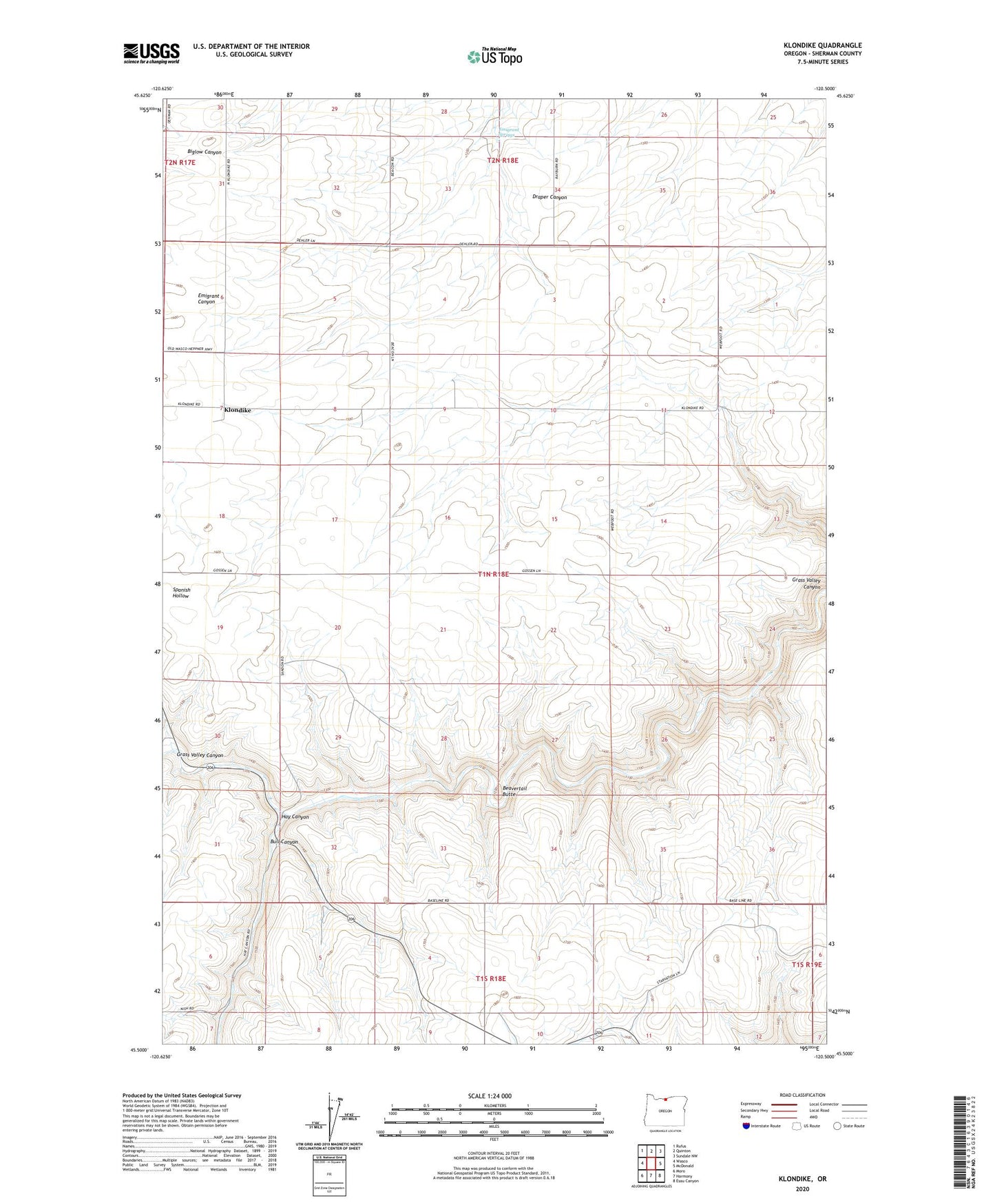
2023 topographic map quadrangle Klondike in the state of Oregon. Scale: 1:24000. Based on the newly updated USGS 7.5' US Topo map series, this map is in the following counties: Sherman. The map contains contour data, water features, and other items you are used to seeing on USGS maps, but also has updated roads and other features. This is the next generation of topographic maps. Printed on high-quality waterproof paper with UV fade-resistant inks.
Quads adjacent to this one:
West: Wasco
Northwest: Rufus
North: Quinton
Northeast: Sundale NW
East: McDonald
Southeast: Esau Canyon
South: Harmony
Southwest: Moro
This map covers the same area as the classic USGS quad with code o45120e5.
Contains the following named places: Beavertail Butte, Bull Canyon, Emigrant Springs, Emigrant Springs Post Office, Grover Post Office, Hay Canyon, Klondike, Klondike Post Office, Klondike School, Nish, Sandon, Sinks, Summit, Webfoot