MyTopo
Krumbo Ridge Oregon US Topo Map
Couldn't load pickup availability
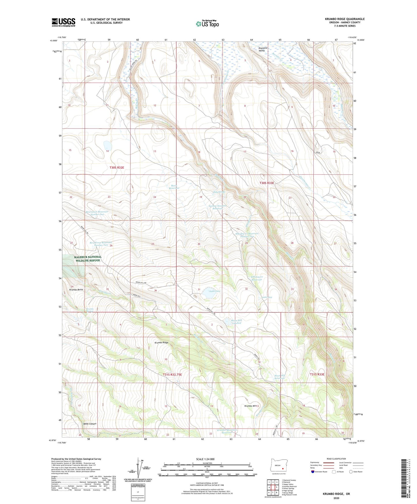
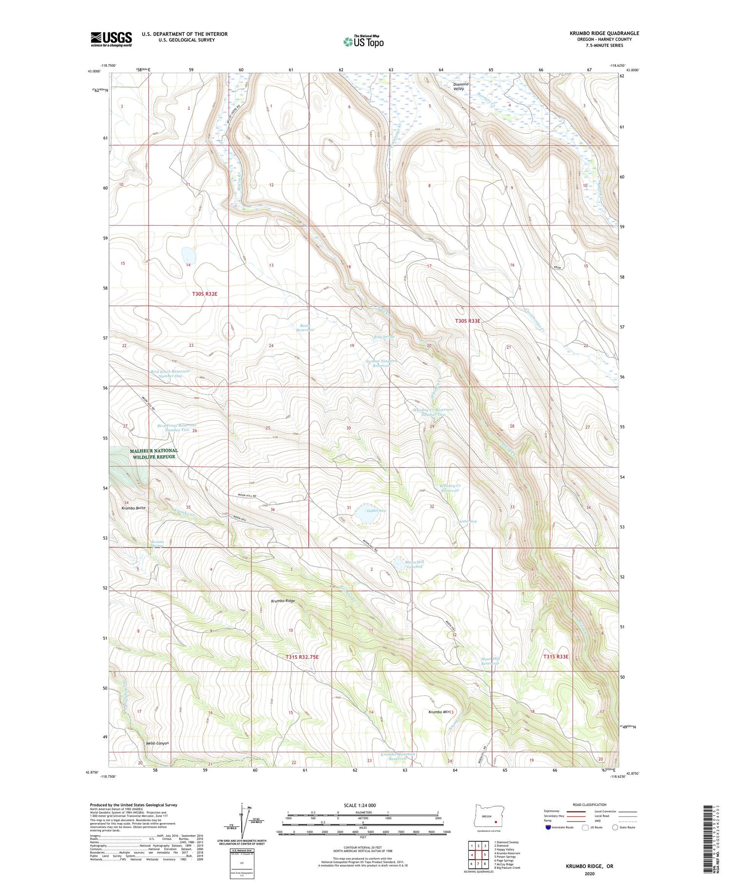
2020 topographic map quadrangle Krumbo Ridge in the state of Oregon. Scale: 1:24000. Based on the newly updated USGS 7.5' US Topo map series, this map is in the following counties: Harney. The map contains contour data, water features, and other items you are used to seeing on USGS maps, but also has updated roads and other features. This is the next generation of topographic maps. Printed on high-quality waterproof paper with UV fade-resistant inks.
Quads adjacent to this one:
West: Krumbo Reservoir
Northwest: Diamond Swamp
North: Diamond
Northeast: Happy Valley
East: Poison Springs
Southeast: Big Pasture Creek
South: McCoy Ridge
Southwest: Page Springs
Contains the following named places: Antler Seep, Basin Reservoir, Bird Fence Reservoir Number One, Bird Fence Reservoir Number Two, Frazier Lake Waterhole, Harold Otley Place, Hidden Seep, Krumbo Butte, Krumbo Mountain, Krumbo Mountain Reservoir, Krumbo Ridge, Krumbo Springs, Moon Hill Lakebed, Moon Hill Reservoir, Ruby Springs, Ruby Springs Well, Section Nineteen Reservoir, Thompson Ranch, Whiskey Creek, Whiskey Creek Reservoir, Whiskey Creek Reservoir Number Two, Witzel Ranch, ZIP Code: 97722