MyTopo
Limber Jim Creek Oregon US Topo Map
Couldn't load pickup availability
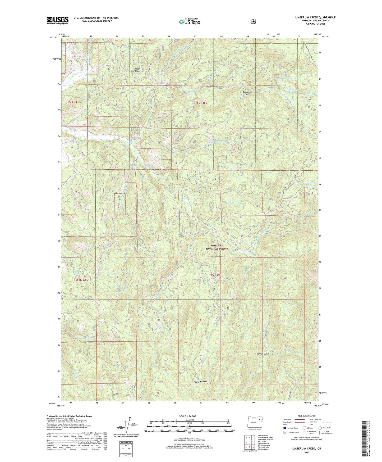
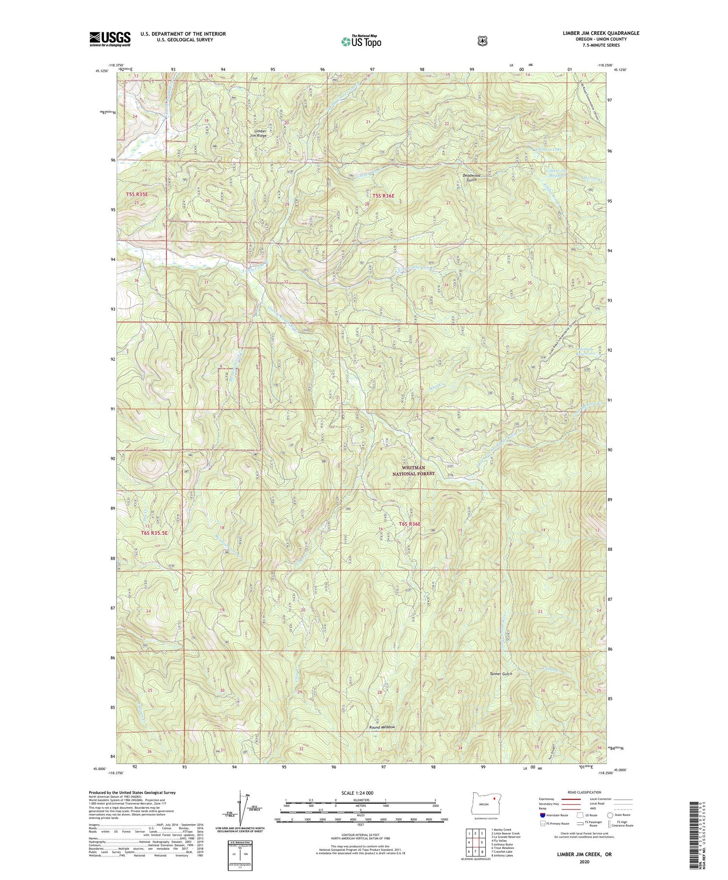
2020 topographic map quadrangle Limber Jim Creek in the state of Oregon. Scale: 1:24000. Based on the newly updated USGS 7.5' US Topo map series, this map is in the following counties: Union. The map contains contour data, water features, and other items you are used to seeing on USGS maps, but also has updated roads and other features. This is the next generation of topographic maps. Printed on high-quality waterproof paper with UV fade-resistant inks.
Quads adjacent to this one:
West: Fly Valley
Northwest: Marley Creek
North: Little Beaver Creek
Northeast: La Grande Reservoir
East: Anthony Butte
Southeast: Anthony Lakes
South: Crawfish Lake
Southwest: Trout Meadows
Contains the following named places: Aurelia Mine, Camp Carson, Camp Carson Mine, Carson Trail, Clear Creek, Deadwood Gulch, East Fork Grande Ronde River, Erickson Lake, Friday Creek, Limber Jim Creek, Limber Jim Meadow, Limber Jim Trail, Little Meadow Creek, Marion Creek, Meadowbrook Creek, Muir Creek, North Fork Limber Jim Creek, Rainbow Reservoirs, Round Meadow, South Fork Limber Jim Creek, Tanner Gulch, Woodley Post Office