MyTopo
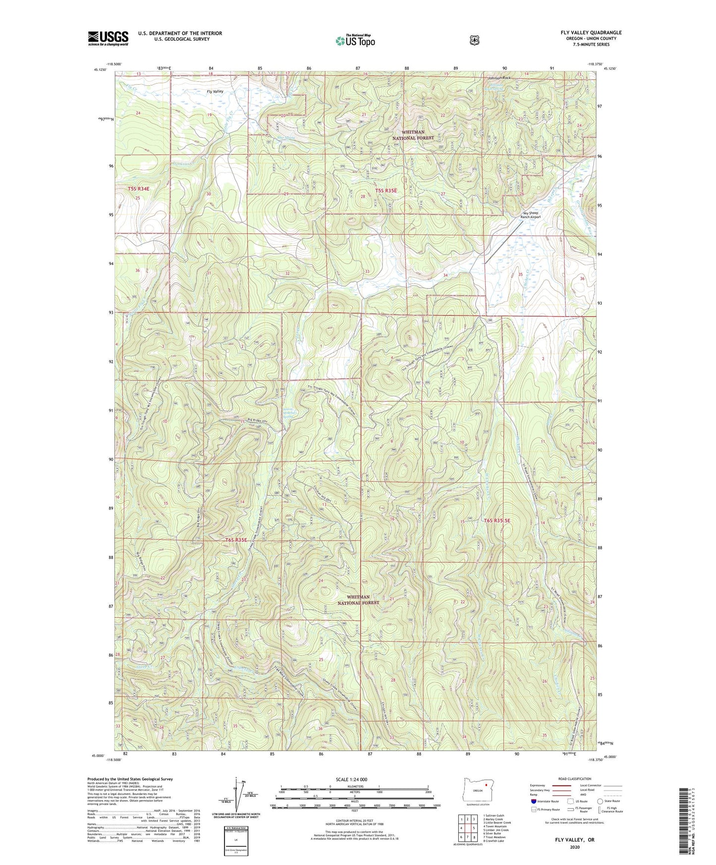
Fly Valley Oregon US Topo Map
Couldn't load pickup availability
Also explore the Fly Valley Forest Service Topo of this same quad for updated USFS data
2024 topographic map quadrangle Fly Valley in the state of Oregon. Scale: 1:24000. Based on the newly updated USGS 7.5' US Topo map series, this map is in the following counties: Union. The map contains contour data, water features, and other items you are used to seeing on USGS maps, but also has updated roads and other features. This is the next generation of topographic maps. Printed on high-quality waterproof paper with UV fade-resistant inks.
Quads adjacent to this one:
West: Tower Mountain
Northwest: Sullivan Gulch
North: Marley Creek
Northeast: Little Beaver Creek
East: Limber Jim Creek
Southeast: Crawfish Lake
South: Trout Meadows
Southwest: Silver Butte
This map covers the same area as the classic USGS quad with code o45118a4.
Contains the following named places: Blue Spring, Chicken Creek, Dry Creek, East Sheep Creek, Fly Valley, Indiana Creek, Johnson Rock Spring, Little Fly Creek, Lookout Creek, PUI Airstrip, Sheep Creek, Vey Ranch, Vey Sheep Ranch Airport, Warm Mineral Spring, West Chicken Creek