MyTopo
Mazama Oregon US Topo Map
Couldn't load pickup availability
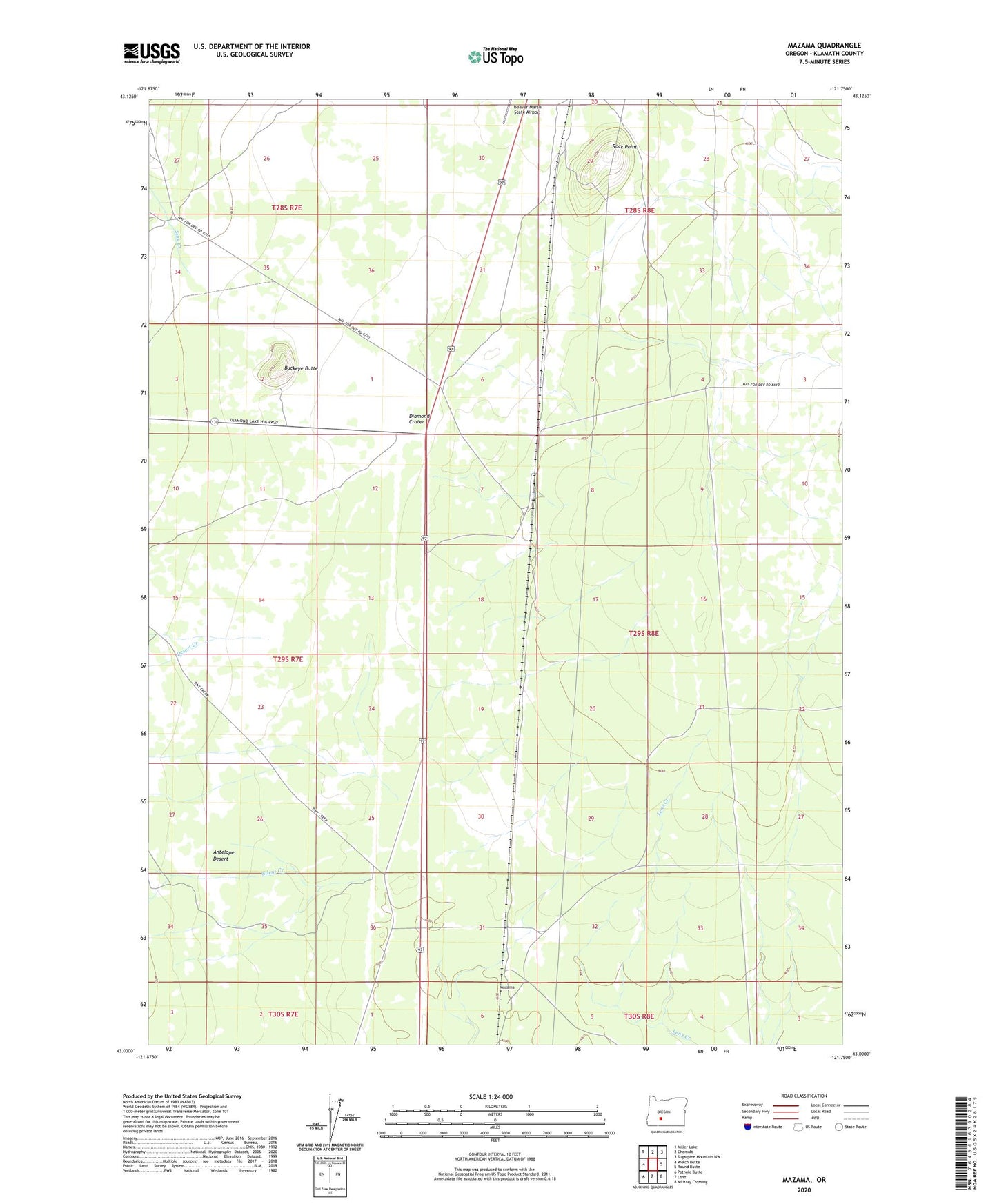
2020 topographic map quadrangle Mazama in the state of Oregon. Scale: 1:24000. Based on the newly updated USGS 7.5' US Topo map series, this map is in the following counties: Klamath. The map contains contour data, water features, and other items you are used to seeing on USGS maps, but also has updated roads and other features. This is the next generation of topographic maps. Printed on high-quality waterproof paper with UV fade-resistant inks.
Quads adjacent to this one:
West: Welch Butte
Northwest: Miller Lake
North: Chemult
Northeast: Sugarpine Mountain NW
East: Round Butte
Southeast: Military Crossing
South: Lenz
Southwest: Pothole Butte
Contains the following named places: Beaver Marsh Guard Station, Buckeye Butte, Desert Creek, Diamond Crater, Diamond Lake Junction, Mazama, Mazama Junction, Mazama Sheep Corral, Rock Point, Silent Creek, Sink Creek, Yamsay