MyTopo
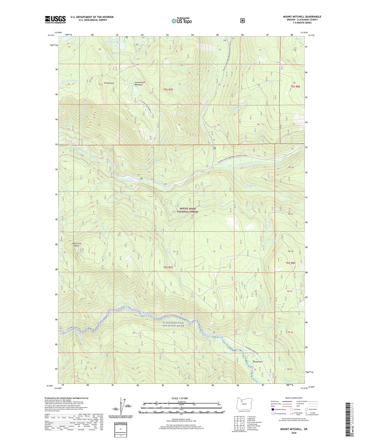
Mount Mitchell Oregon US Topo Map
Couldn't load pickup availability
Also explore the Mount Mitchell Forest Service Topo of this same quad for updated USFS data
2023 topographic map quadrangle Mount Mitchell in the state of Oregon. Scale: 1:24000. Based on the newly updated USGS 7.5' US Topo map series, this map is in the following counties: Clackamas. The map contains contour data, water features, and other items you are used to seeing on USGS maps, but also has updated roads and other features. This is the next generation of topographic maps. Printed on high-quality waterproof paper with UV fade-resistant inks.
Quads adjacent to this one:
West: Fish Creek Mountain
Northwest: Three Lynx
North: High Rock
Northeast: Wolf Peak
East: Timothy Lake
Southeast: Pinhead Buttes
South: Mount Lowe
Southwest: Bull of the Woods
This map covers the same area as the classic USGS quad with code o45121a8.
Contains the following named places: Big Bottom, Buck Lake Trail, Cabin Creek, Canyon Creek, Clackamas Wild and Scenic River, Cot Creek, Cottonwood Meadows, Cottonwood Meadows Trail, Devils Ridge Quarry, Devils Spring, Devils Spring Creek, Gee Zee Quarry, Granite Creek, Harriet Lake Boat Launch, Hideaway Lake, Hideaway Lake Recreation Site, Kelley Creek, KII Quarry, Kink Creek, Lake Harriet, Lake Harriet Dam, Lake Harriet Recreation Site, Lightning Creek, Lost Creek, Mount Mitchell, Oak Grove Butte, Pan Creek, Peavine Creek, Pot Creek, Pot Creek Cabin, Pot Creek Trail, Sam Creek, Shellrock Creek, Shellrock Creek Recreation Site, Skunk Creek, Spring Creek, Steep Spring, Thunder Quarry, Wolf Creek