MyTopo
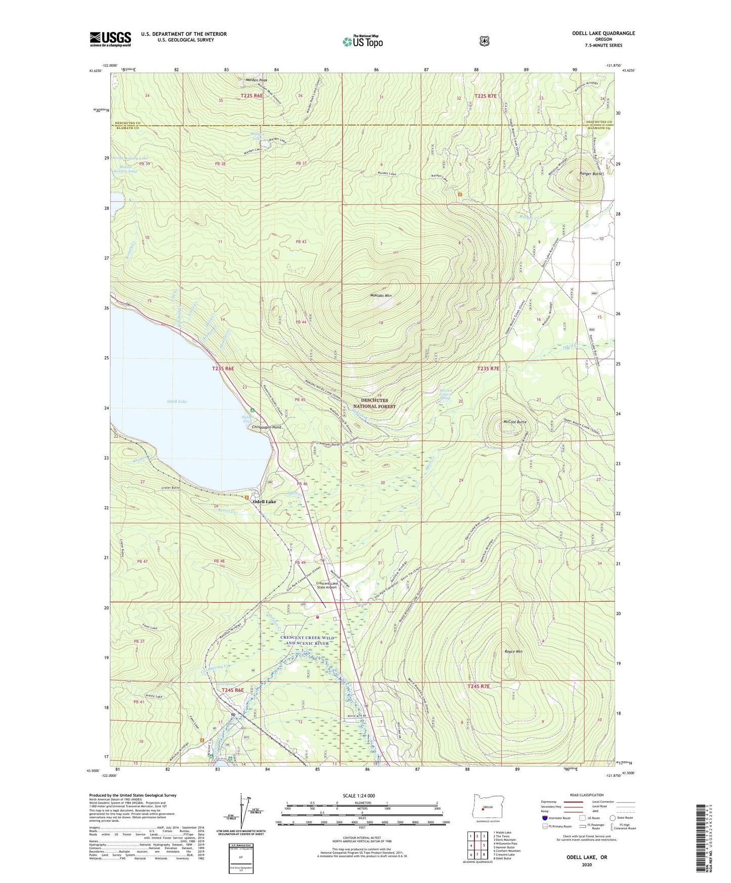
Odell Lake Oregon US Topo Map
Couldn't load pickup availability
Also explore the Odell Lake Forest Service Topo of this same quad for updated USFS data
2024 topographic map quadrangle Odell Lake in the state of Oregon. Scale: 1:24000. Based on the newly updated USGS 7.5' US Topo map series, this map is in the following counties: Klamath, Deschutes. The map contains contour data, water features, and other items you are used to seeing on USGS maps, but also has updated roads and other features. This is the next generation of topographic maps. Printed on high-quality waterproof paper with UV fade-resistant inks.
Quads adjacent to this one:
West: Willamette Pass
Northwest: Waldo Lake
North: The Twins
Northeast: Davis Mountain
East: Hamner Butte
Southeast: Odell Butte
South: Crescent Lake
Southwest: Cowhorn Mountain
This map covers the same area as the classic USGS quad with code o43121e8.
Contains the following named places: Alder Creek, Antler Creek, Central Cascade Fire and Emergency Medical Services Heliport, Central Cascades Fire and Emergency Medical Services, Chinquapin Point, Cold Spring, Cold Spring Creek, Crater Butte Trail, Crescent Lake, Crescent Lake Census Designated Place, Crescent Lake Dam, Crescent Lake Guard Station, Crescent Lake Junction, Crescent Lake Post Office, Crescent Lake Recreation Site, Crescent Lake Resort, Crescent Lake Resort Boat Ramp, Crescent Lake Resort Marina, Crescent Lake Sno-Park, Crescent Lake State Airport, Davis Lake Guard Station, Douglas Creek, Fawn Lake Trail, Fire Creek, Johnston Creek, Junction Sno-Park, Little Creek, Lower Rosary Lake, Mafler Creek, Maiden Lake, Maklaks Creek, Maklaks Mountain, McCool Butte, McCord Cabin Spring, No-See-Em Creek, Odell Creek Recreation Site, Odell Lake, Odell Lake Resort Boat Ramp, Odell Lake Resort Marina, Orphan Creek, Pretty Lake Trail, Quita Creek, Ranger Butte, Resort Creek, Rhodod Creek, Royce Mountain, Royce Mountain Snow Park, Solomon Creek, Sunset Cove, Sunset Cove Campground Boat Ramp, Sunset Cove Recreation Site, Thunder Creek, Triple Creek, Wharf Creek


