MyTopo
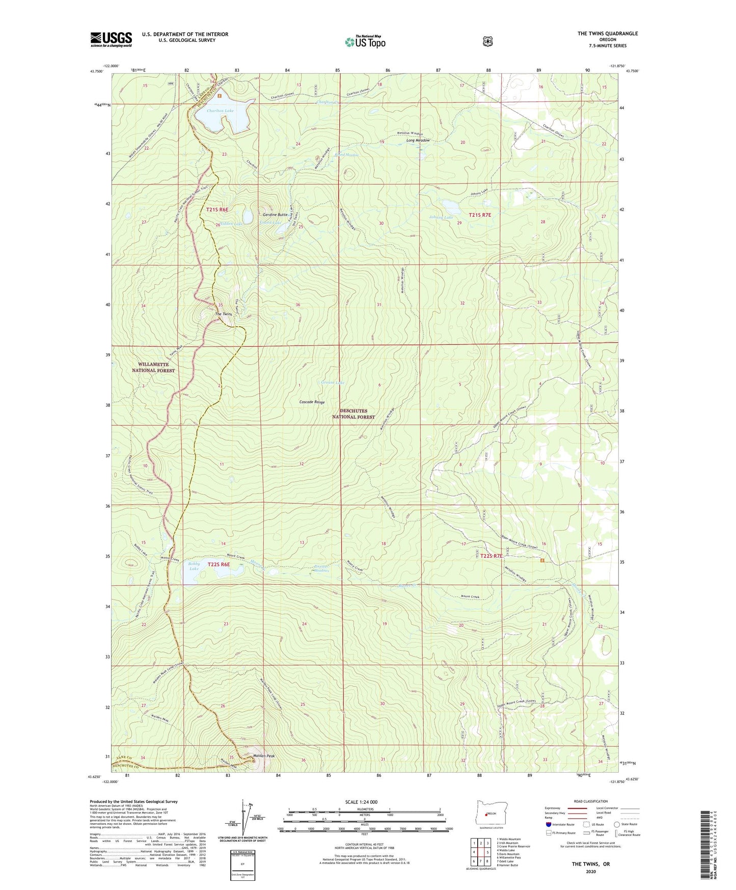
The Twins Oregon US Topo Map
Couldn't load pickup availability
Also explore the The Twins Forest Service Topo of this same quad for updated USFS data
2023 topographic map quadrangle The Twins in the state of Oregon. Scale: 1:24000. Based on the newly updated USGS 7.5' US Topo map series, this map is in the following counties: Deschutes, Lane. The map contains contour data, water features, and other items you are used to seeing on USGS maps, but also has updated roads and other features. This is the next generation of topographic maps. Printed on high-quality waterproof paper with UV fade-resistant inks.
Quads adjacent to this one:
West: Waldo Lake
Northwest: Waldo Mountain
North: Irish Mountain
Northeast: Crane Prairie Reservoir
East: Davis Mountain
Southeast: Hamner Butte
South: Odell Lake
Southwest: Willamette Pass
This map covers the same area as the classic USGS quad with code o43121f8.
Contains the following named places: Barren Lake, Bobby Lake, Charlton Lake, Charlton Lake Shelter, Found Lake, Gerdine Butte, Grouse Lake, Hidden Lake, Johnny Lake, Long Meadow, Maiden Peak, Moore Creek Trail, Poverty Meadows, Round Meadow, The Twins, Twin Peaks Trail