MyTopo
Pothole Butte Oregon US Topo Map
Couldn't load pickup availability
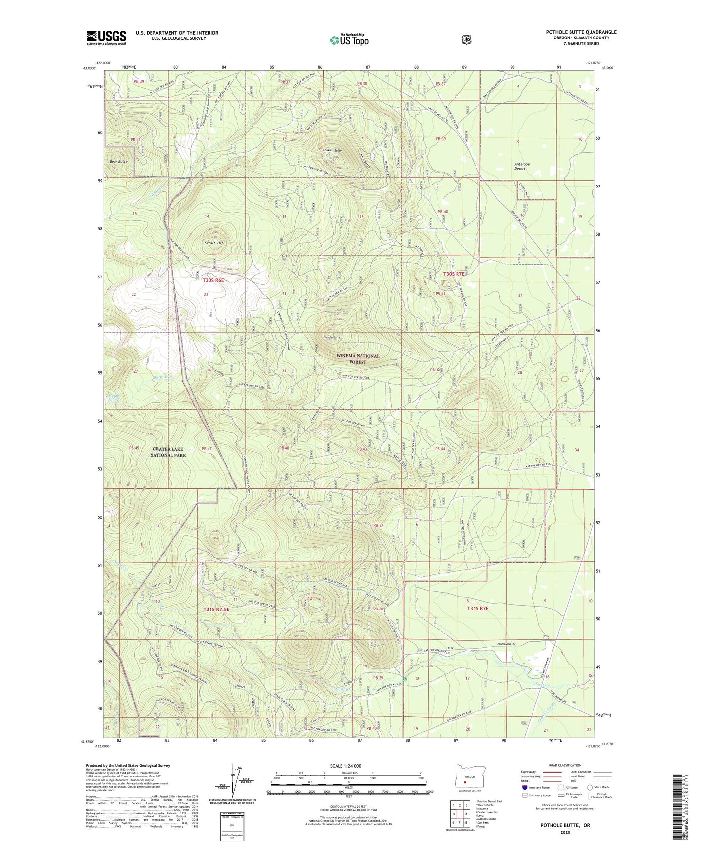
2020 topographic map quadrangle Pothole Butte in the state of Oregon. Scale: 1:24000. Based on the newly updated USGS 7.5' US Topo map series, this map is in the following counties: Klamath. The map contains contour data, water features, and other items you are used to seeing on USGS maps, but also has updated roads and other features. This is the next generation of topographic maps. Printed on high-quality waterproof paper with UV fade-resistant inks.
Quads adjacent to this one:
West: Crater Lake East
Northwest: Pumice Desert East
North: Welch Butte
Northeast: Mazama
East: Lenz
Southeast: Fuego
South: Sun Pass
Southwest: Maklaks Crater
Contains the following named places: Bear Butte, Lookout Butte, Pothole Butte, Pothole Creek, Pothole Spring, Pothole Well, Pothole Well Guard Station, Scott Creek Recreation Site, Scout Hill