MyTopo
Rams Butte Oregon US Topo Map
Couldn't load pickup availability
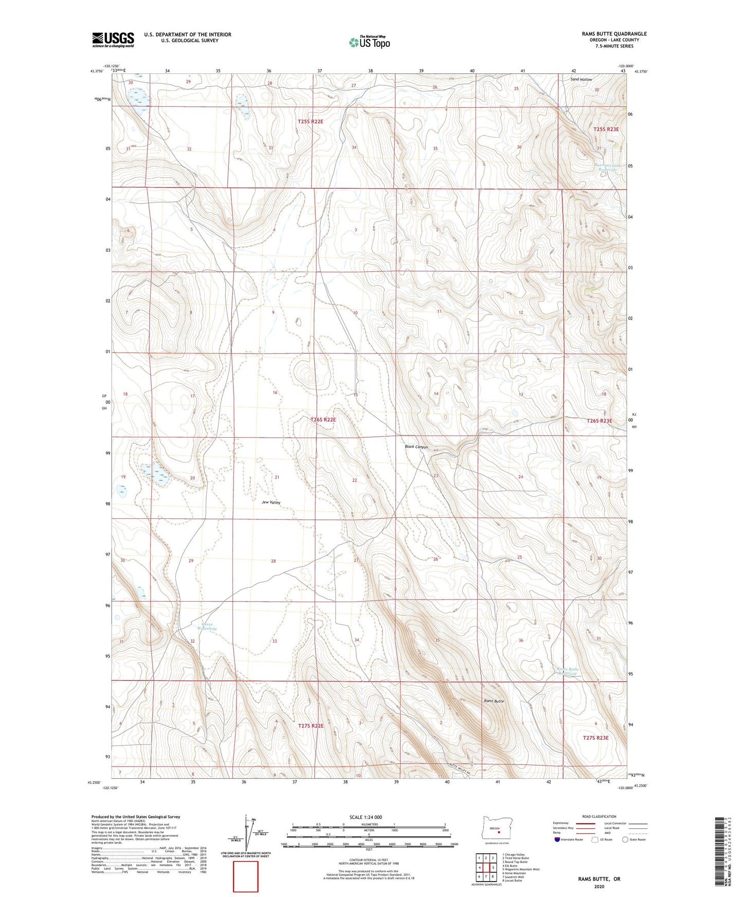
2023 topographic map quadrangle Rams Butte in the state of Oregon. Scale: 1:24000. Based on the newly updated USGS 7.5' US Topo map series, this map is in the following counties: Lake. The map contains contour data, water features, and other items you are used to seeing on USGS maps, but also has updated roads and other features. This is the next generation of topographic maps. Printed on high-quality waterproof paper with UV fade-resistant inks.
Quads adjacent to this one:
West: Elk Butte
Northwest: Chicago Valley
North: Tired Horse Butte
Northeast: Round Top Butte
East: Wagontire Mountain West
Southeast: Locust Butte
South: Goodrich Well
Southwest: Horse Mountain
This map covers the same area as the classic USGS quad with code o43120c1.
Contains the following named places: Black Canyon, Burrows Lake Reservoir, Curve Waterhole, Eades Well, Jew Valley, Rams Butte, Rams Butte Reservoir, Sand Hollow Well