MyTopo
Ritter Oregon US Topo Map
Couldn't load pickup availability
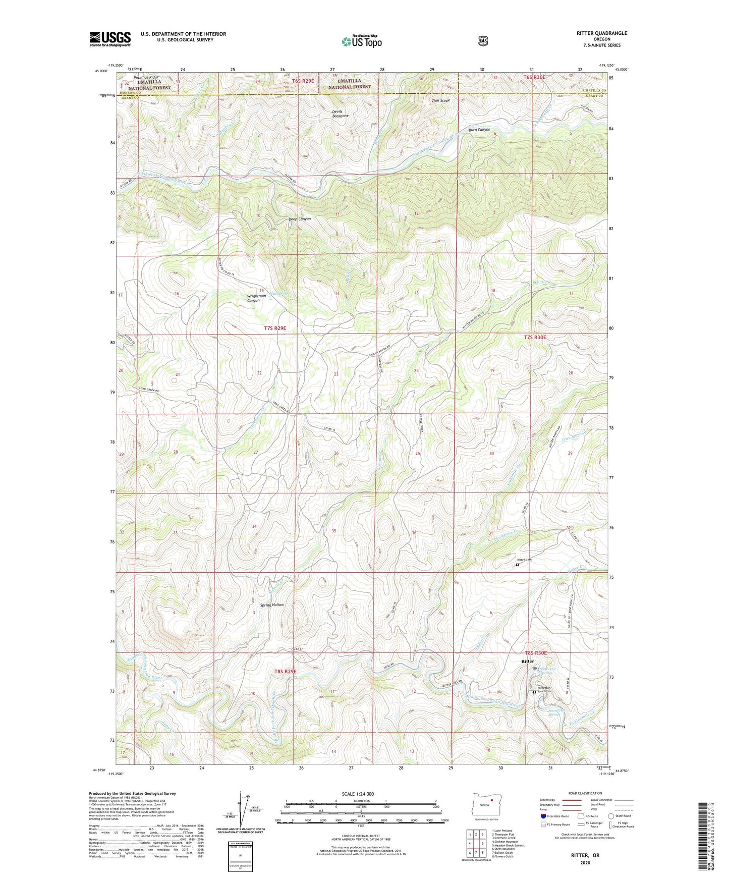
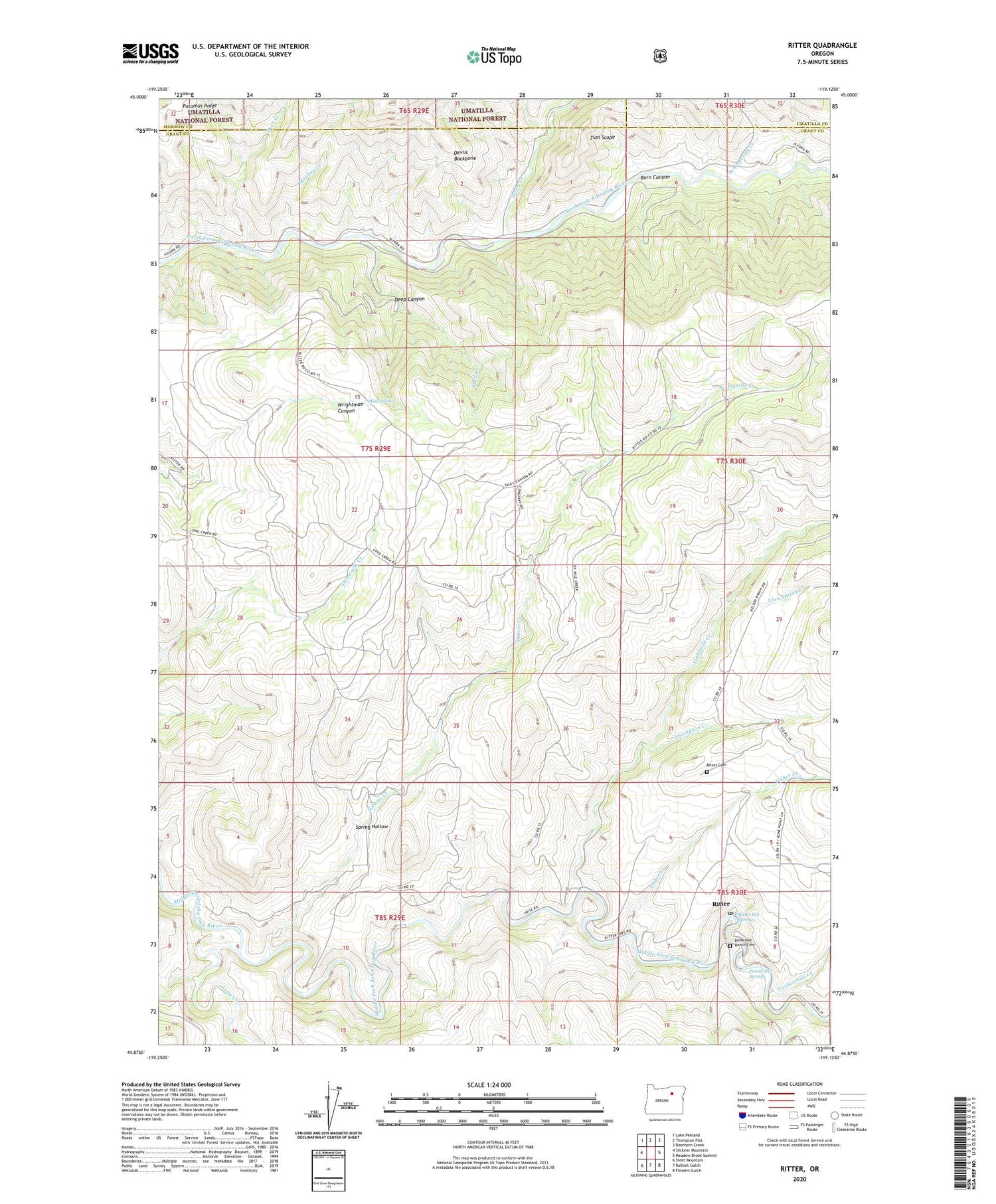
2020 topographic map quadrangle Ritter in the state of Oregon. Scale: 1:24000. Based on the newly updated USGS 7.5' US Topo map series, this map is in the following counties: Grant, Morrow, Umatilla. The map contains contour data, water features, and other items you are used to seeing on USGS maps, but also has updated roads and other features. This is the next generation of topographic maps. Printed on high-quality waterproof paper with UV fade-resistant inks.
Quads adjacent to this one:
West: Slickear Mountain
Northwest: Lake Penland
North: Thompson Flat
Northeast: Deerhorn Creek
East: Meadow Brook Summit
Southeast: Flowers Gulch
South: Bullock Gulch
Southwest: Steet Mountain
Contains the following named places: Burn Canyon, Deep Canyon, Deer Creek, Devils Backbone, Dickerson Ranch Cemetery, Eightmile Creek, Fisher Creek, Iron Spring Creek, Long Creek, Monkey Creek, Mud Spring, Powell Hot Springs, Ritter, Ritter Cemetery, Ritter Grange, Ritter Hot Springs, Ritter Post Office, Ritter School, Schoolcraft Creek, Sixmile Creek, Skull Creek, Spring Hollow, Stony Creek, Thompson Creek, Threemile School, Twelvemile Creek