MyTopo
Thompson Flat Oregon US Topo Map
Couldn't load pickup availability
Also explore the Thompson Flat Forest Service Topo of this same quad for updated USFS data
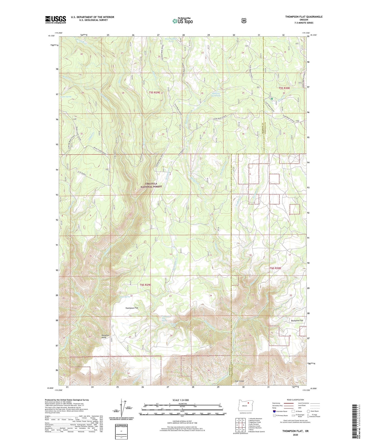
2024 topographic map quadrangle Thompson Flat in the state of Oregon. Scale: 1:24000. Based on the newly updated USGS 7.5' US Topo map series, this map is in the following counties: Morrow, Umatilla. The map contains contour data, water features, and other items you are used to seeing on USGS maps, but also has updated roads and other features. This is the next generation of topographic maps. Printed on high-quality waterproof paper with UV fade-resistant inks.
Quads adjacent to this one:
West: Lake Penland
Northwest: Arbuckle Mountain
North: Matlock Prairie
Northeast: Sugarbowl Creek
East: Deerhorn Creek
Southeast: Meadow Brook Summit
South: Ritter
Southwest: Slickear Mountain
This map covers the same area as the classic USGS quad with code o45119a2.
Contains the following named places: Bonita Spring, Brush Creek, Deep Creek, Divide Well, Divide Well Recreation Site, Dry Matlock Creek, Ellis Creek, Florence Cabin, Gilbert Creek, Groshen Trail, Hunter Spring, Juniper Camp, Matlock Creek, Matlock Water Hole Camp, Matlock Waterhole, No Name Creek, Pole Creek, Potamus Point, Rush Creek, Scaffold Creek, Section Line Trail, Thompson Corral, Thompson Creek, Thompson Falls, Thompson Falls Spring, Thompson Flat, Thompson Flat Well, West Gopher Pond, Zion Scope