MyTopo
Sharp Top Oregon US Topo Map
Couldn't load pickup availability
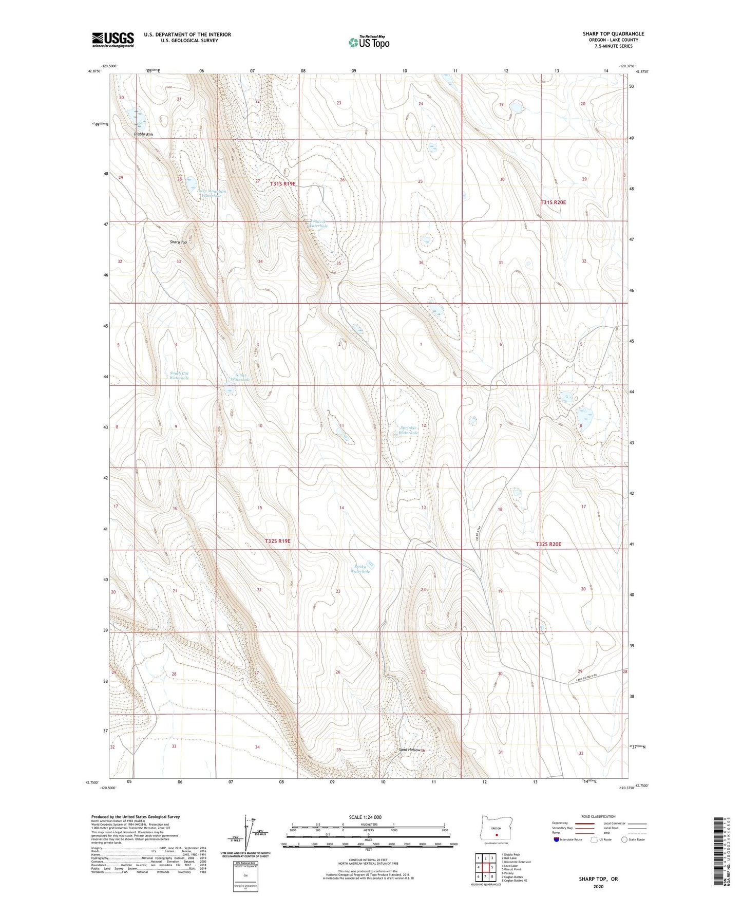
2020 topographic map quadrangle Sharp Top in the state of Oregon. Scale: 1:24000. Based on the newly updated USGS 7.5' US Topo map series, this map is in the following counties: Lake. The map contains contour data, water features, and other items you are used to seeing on USGS maps, but also has updated roads and other features. This is the next generation of topographic maps. Printed on high-quality waterproof paper with UV fade-resistant inks.
Quads adjacent to this one:
West: Loco Lake
Northwest: Diablo Peak
North: Bull Lake
Northeast: Diatomite Reservoir
East: Biscuit Point
Southeast: Coglan Buttes NE
South: Coglan Buttes
Southwest: Paisley
Contains the following named places: Between Rim Waterhole, Giant Waterhole, Inter Mountain Waterhole, Lake County, Little Waterhole, Rocky Waterhole, Sand Hollow, Sharp Top, South Cat Waterhole, Sprinkle Waterhole, Twin Lakes, Wildcat Waterhole, Yankee Waterhole