MyTopo
Sunset Spring Oregon US Topo Map
Couldn't load pickup availability
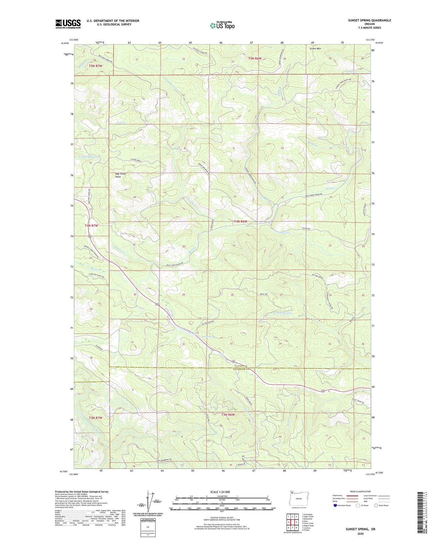
2020 topographic map quadrangle Sunset Spring in the state of Oregon. Scale: 1:24000. Based on the newly updated USGS 7.5' US Topo map series, this map is in the following counties: Clatsop, Tillamook. The map contains contour data, water features, and other items you are used to seeing on USGS maps, but also has updated roads and other features. This is the next generation of topographic maps. Printed on high-quality waterproof paper with UV fade-resistant inks.
Quads adjacent to this one:
West: Elsie
Northwest: Vinemaple
North: Sager Creek
Northeast: Birkenfeld
East: Clear Creek
Southeast: Timber
South: Cochran
Southwest: Rogers Peak
Contains the following named places: Bear Creek, Camp McGregor, Coyote Corner, Dog Thief Point, Martin Creek, Military Creek, North Fork Rock Creek, Olson Creek, South Fork Rock Creek, Sterling Forest Station, Sunset Safety Rest Area, Sunset Spring, Weed Creek