MyTopo
Turnbull Peak Oregon US Topo Map
Couldn't load pickup availability
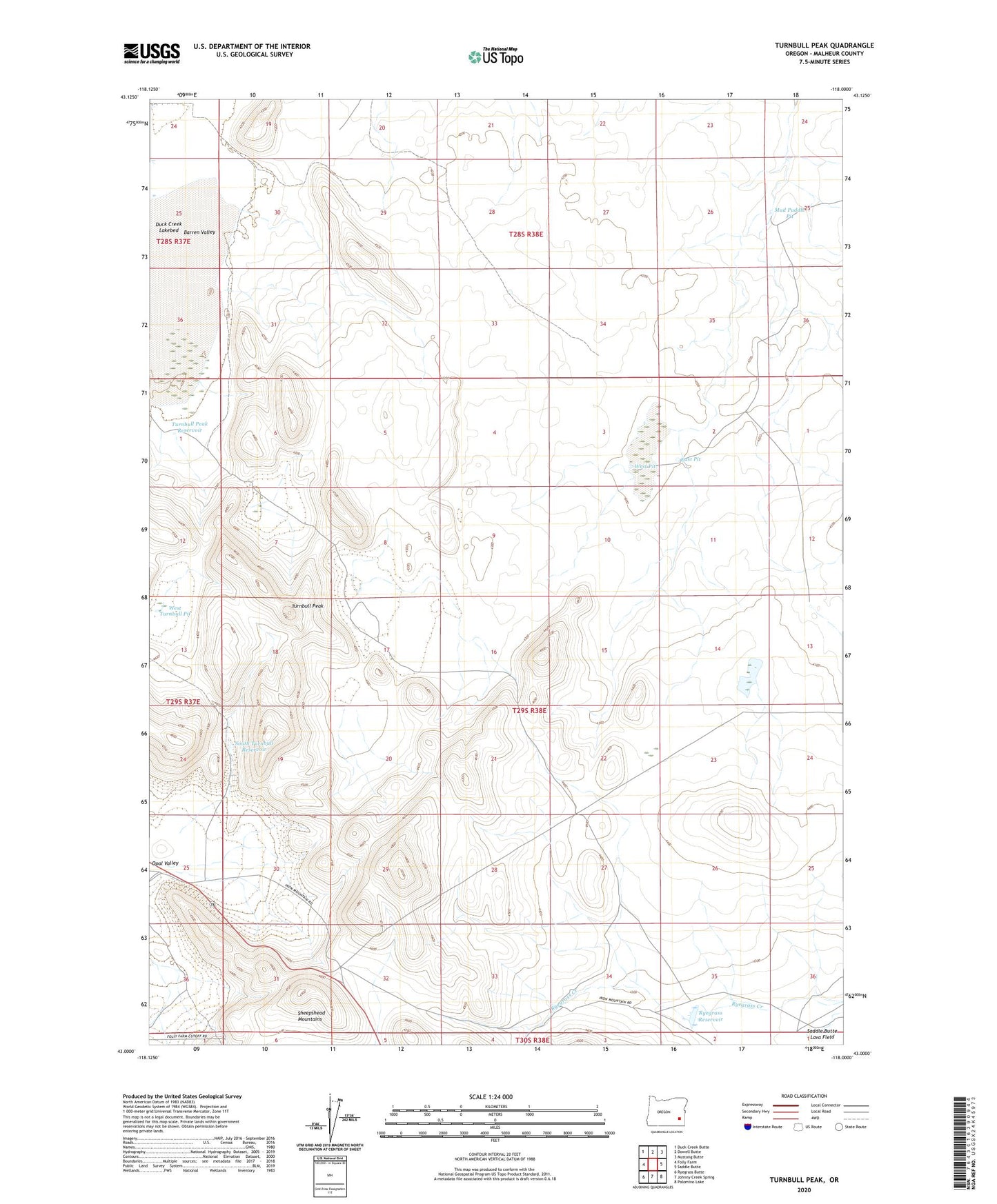
2024 topographic map quadrangle Turnbull Peak in the state of Oregon. Scale: 1:24000. Based on the newly updated USGS 7.5' US Topo map series, this map is in the following counties: Malheur. The map contains contour data, water features, and other items you are used to seeing on USGS maps, but also has updated roads and other features. This is the next generation of topographic maps. Printed on high-quality waterproof paper with UV fade-resistant inks.
Quads adjacent to this one:
West: Folly Farm
Northwest: Duck Creek Butte
North: Dowell Butte
Northeast: Mustang Butte
East: Saddle Butte
Southeast: Palomino Lake
South: Johnny Creek Spring
Southwest: Ryegrass Butte
This map covers the same area as the classic USGS quad with code o43118a1.
Contains the following named places: Duck Creek, East Pit, Mud Puddle Pit, Ryegrass Ranch, Ryegrass Reservoir, South Turnbull Reservoir, Turnbull Peak, Turnbull Peak Reservoir, Turnbull Well, West Pit, West Turnbull Pit